Browsed by
Category: Places We’ve Been

Places we have been.

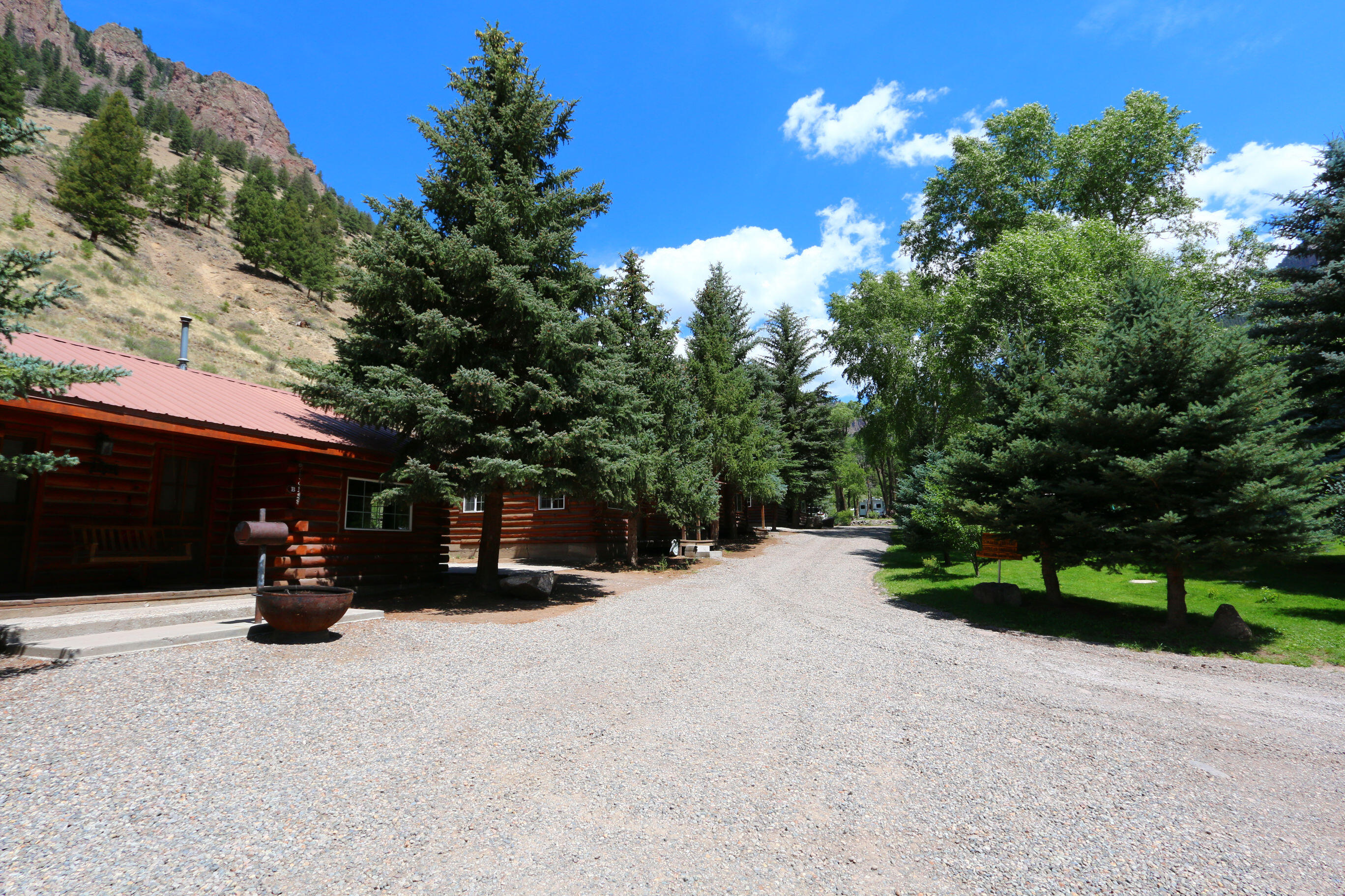
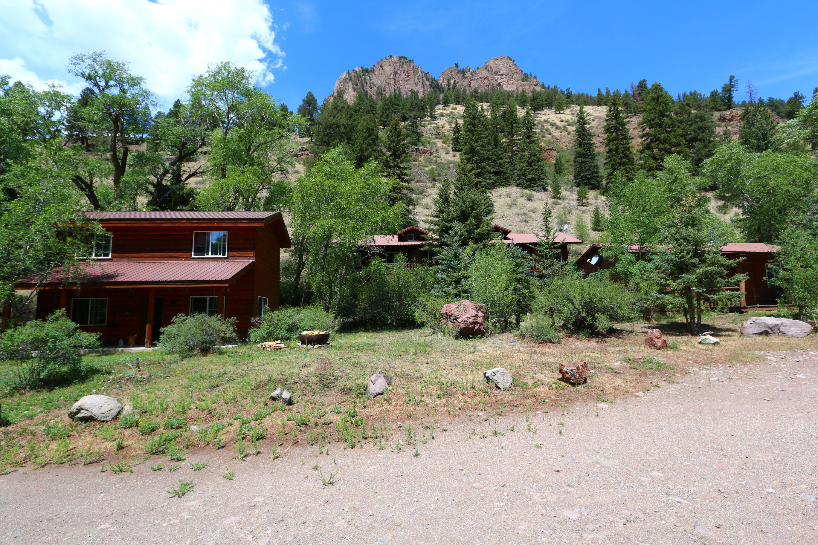
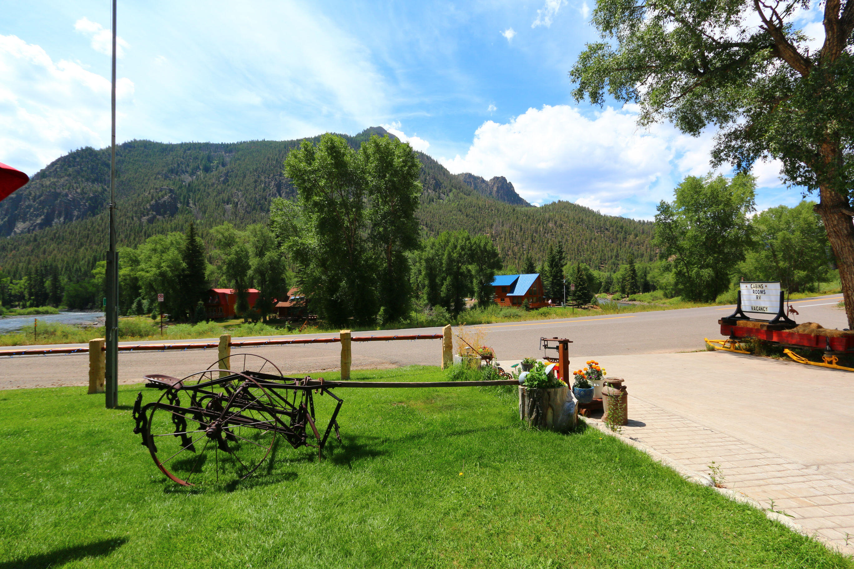
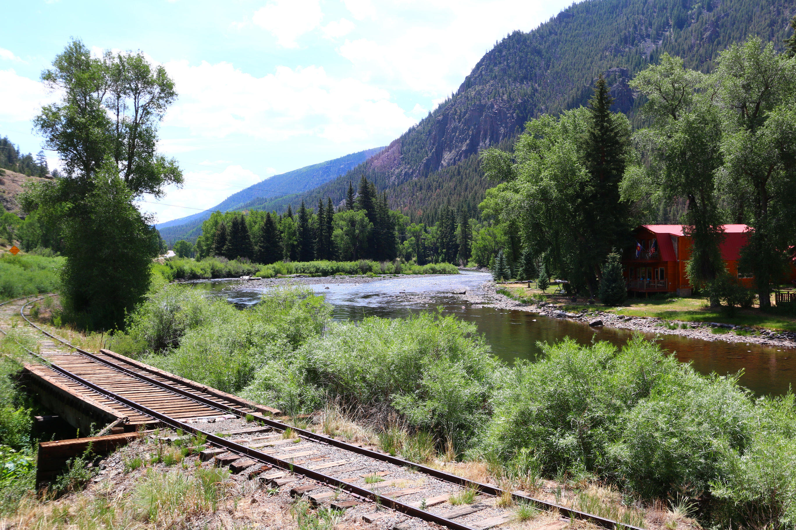
South Fork Area

South Fork Area

Silver Thread Scenic Byway / Bachelor Loop

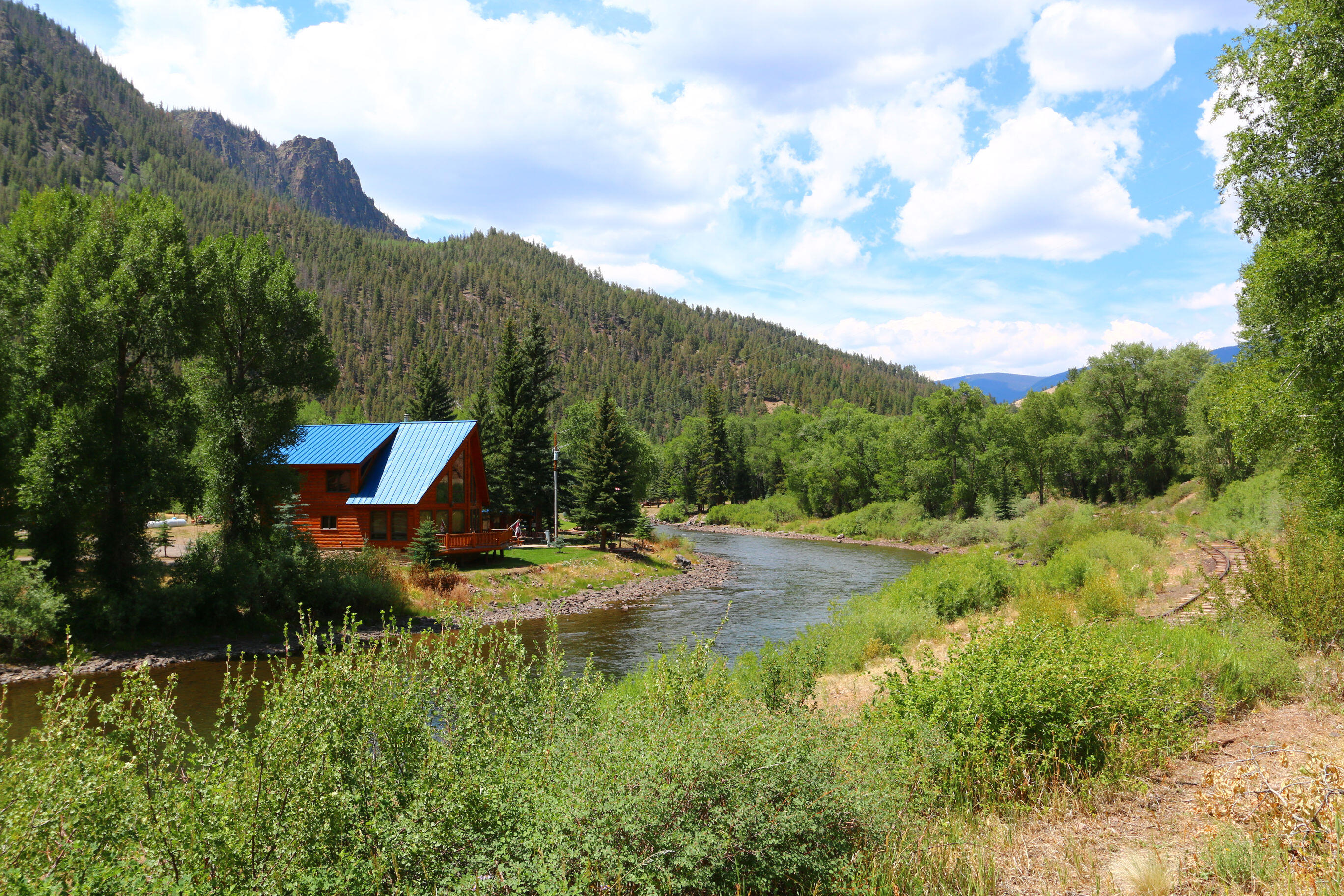
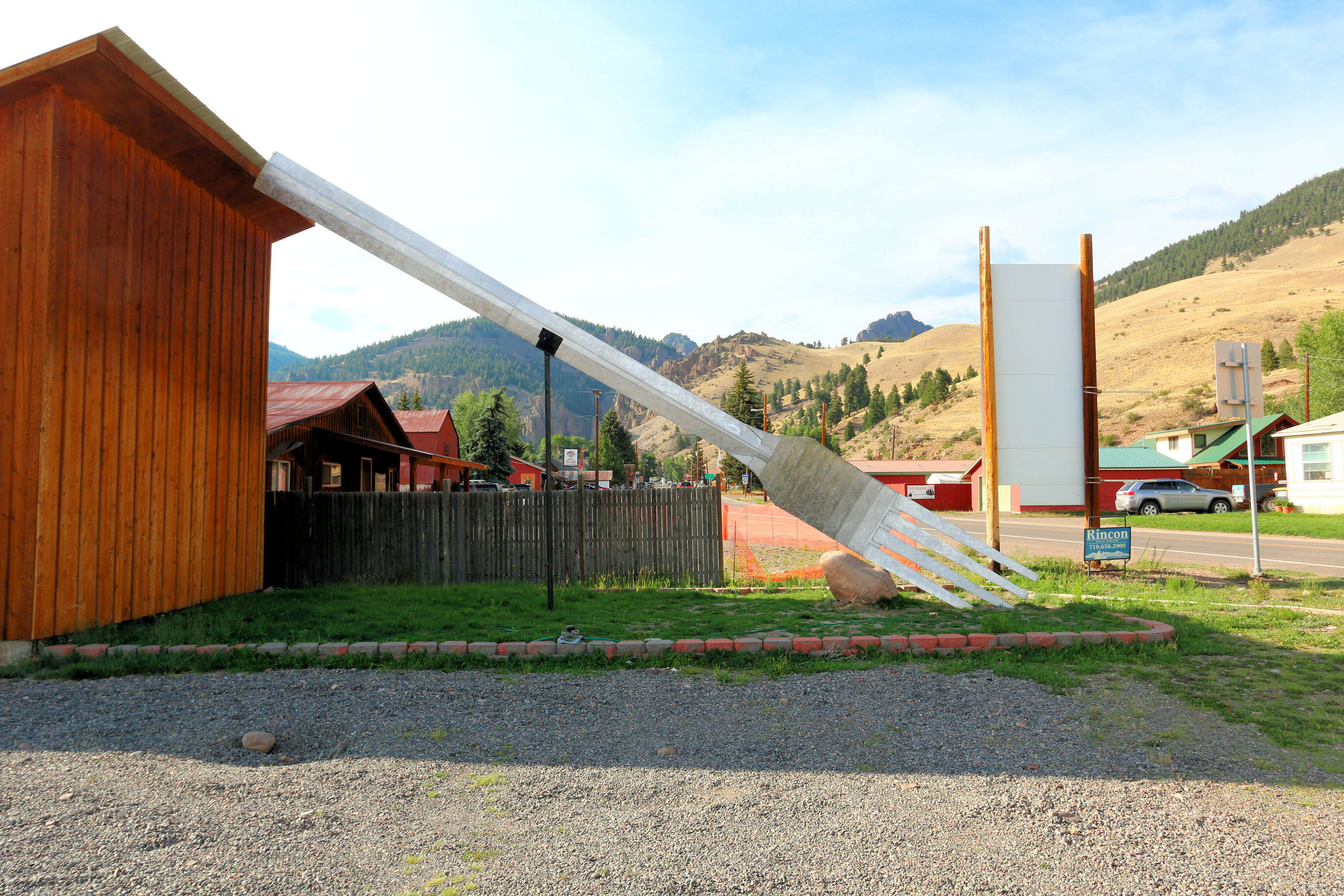
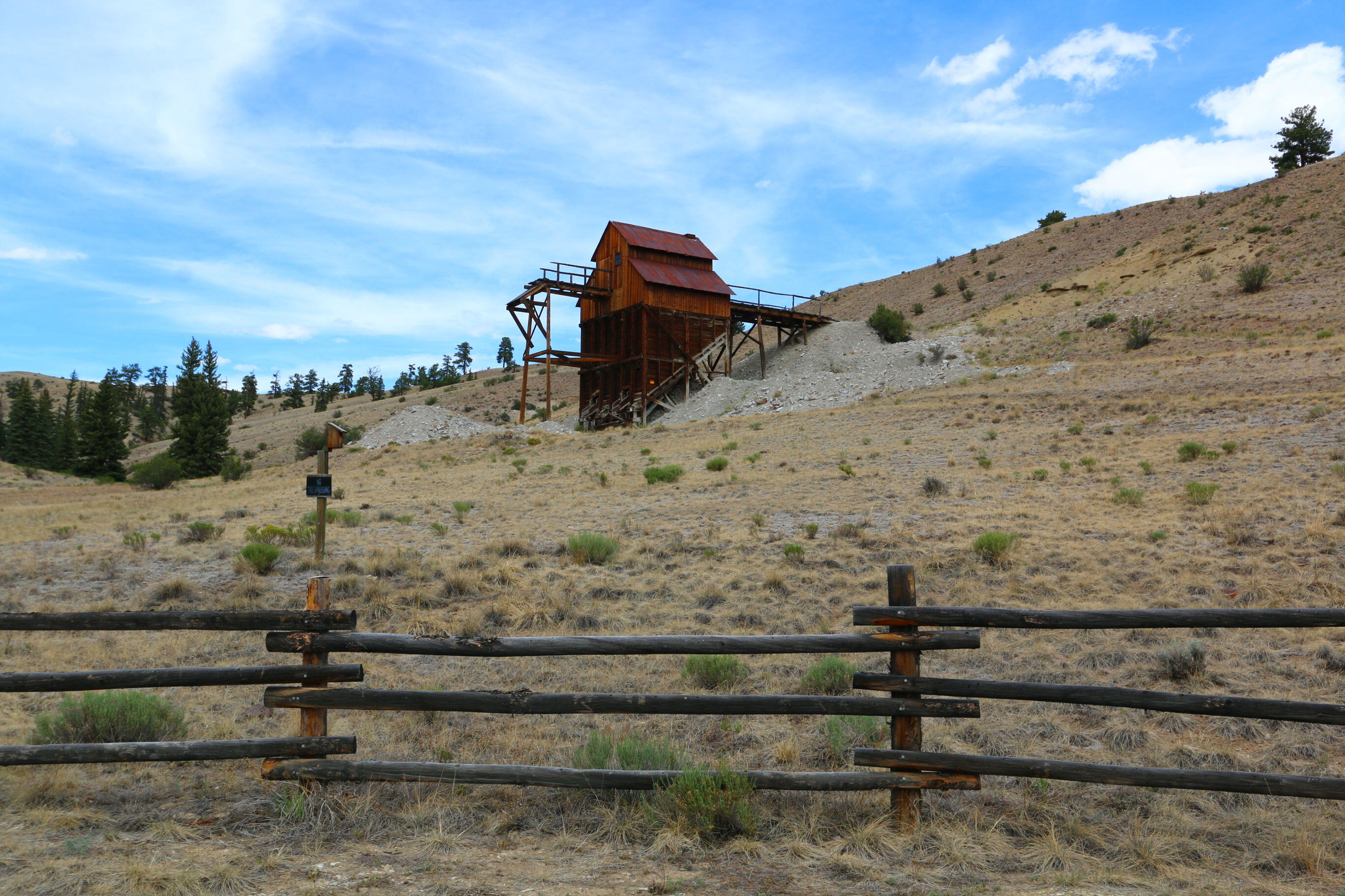
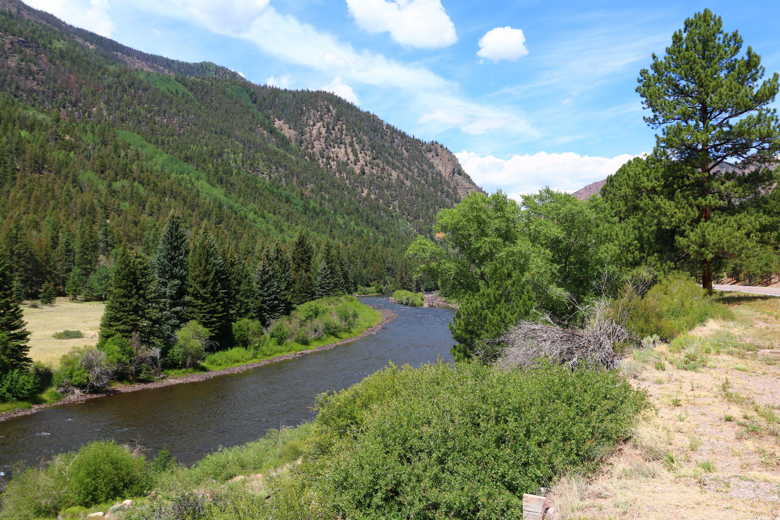
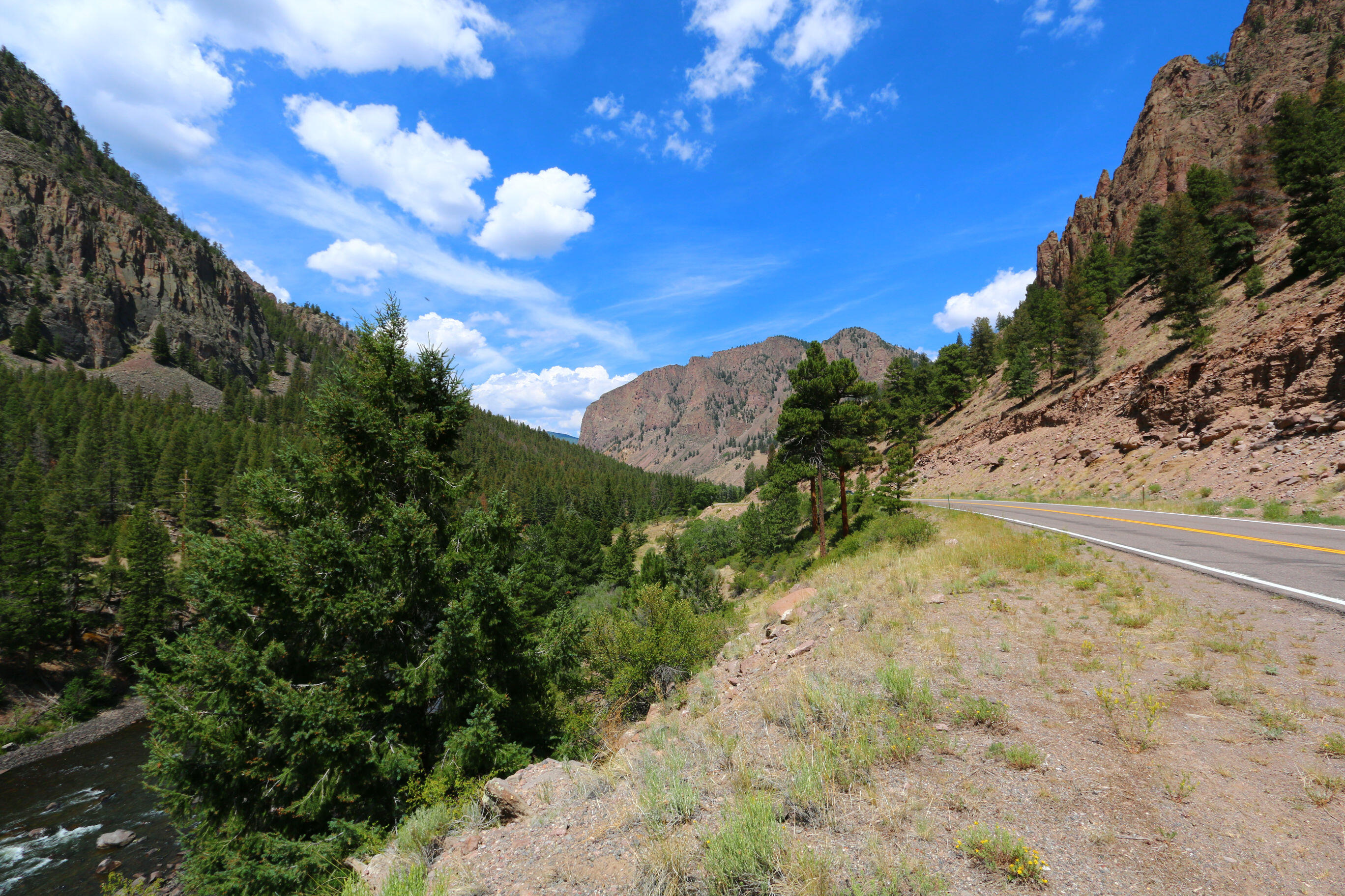
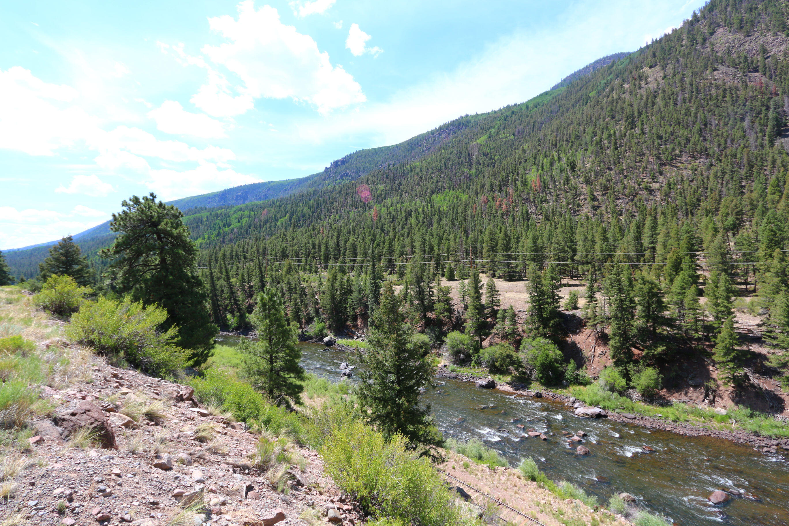
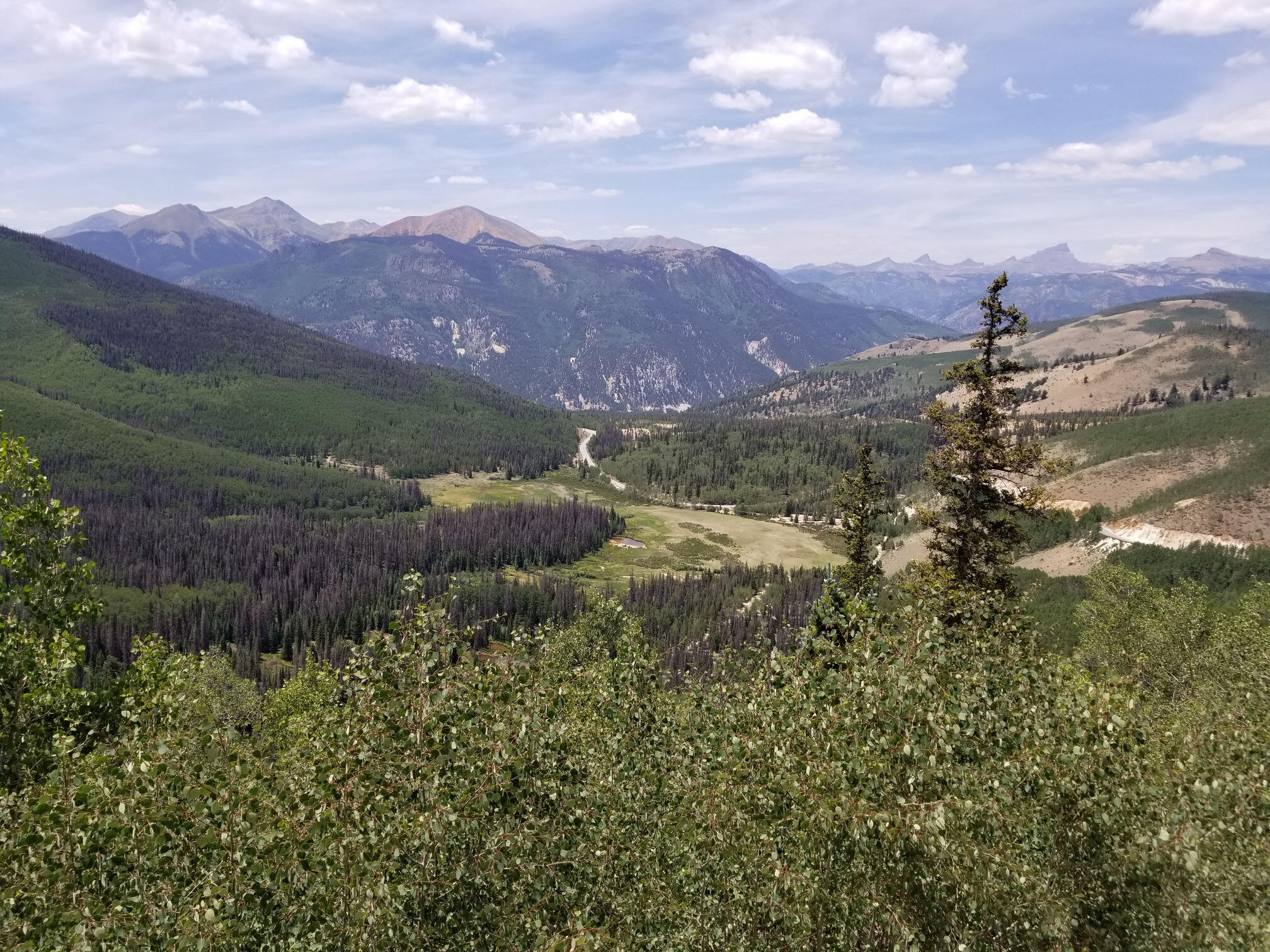
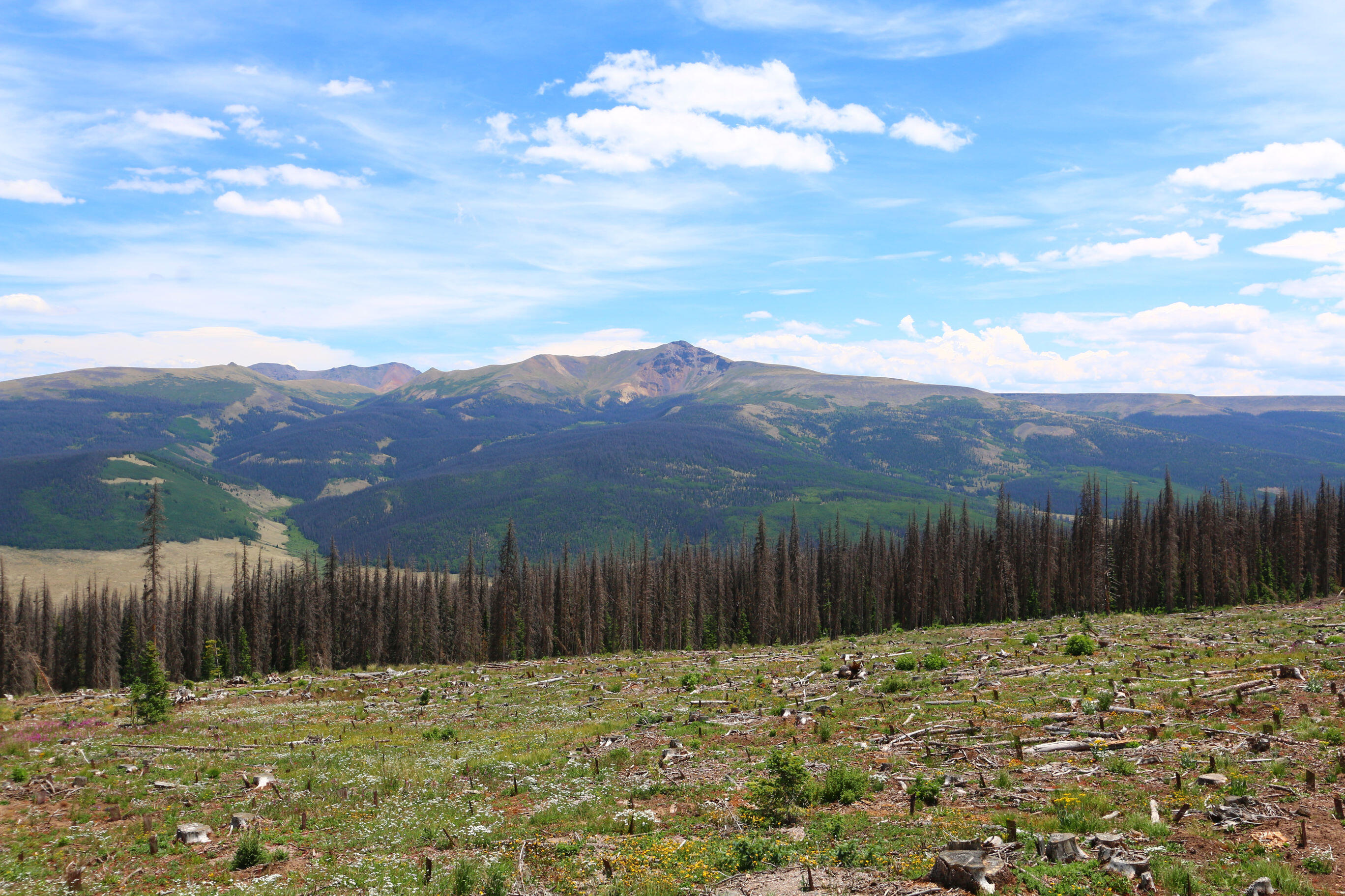
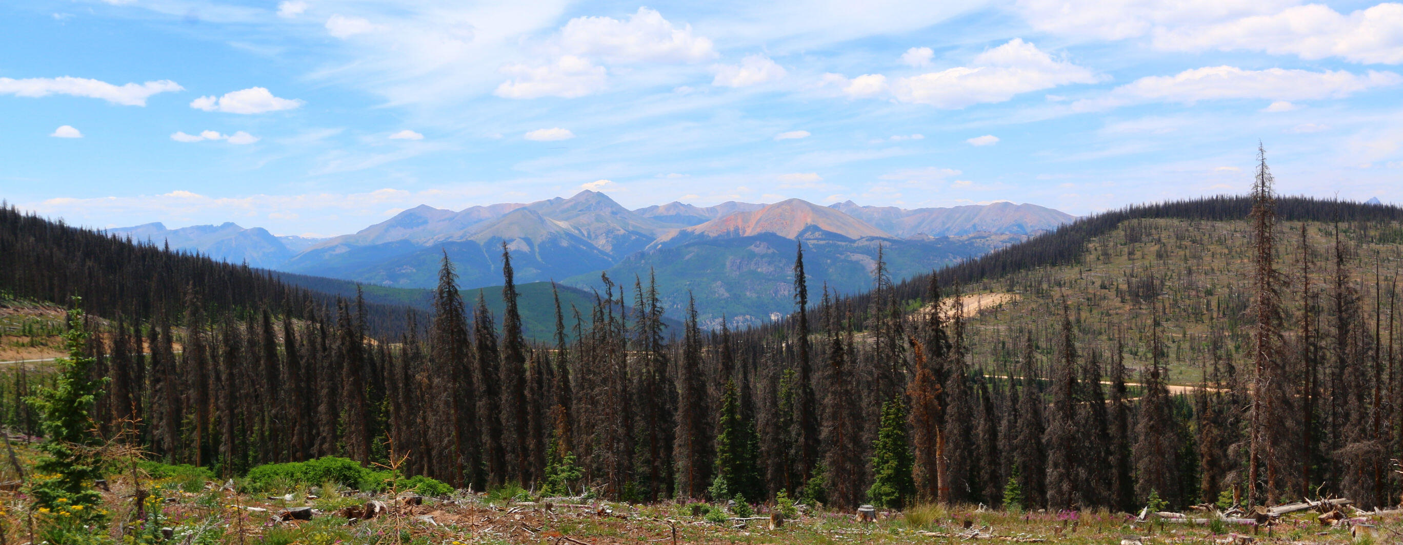
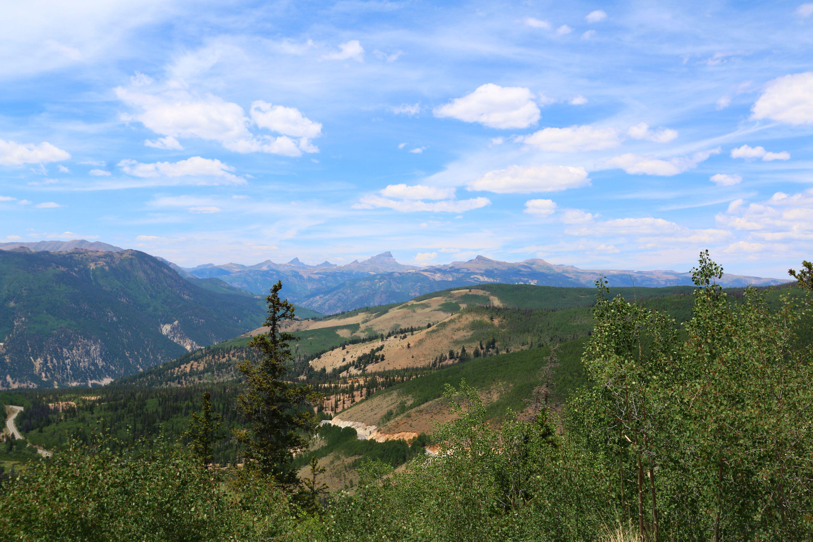
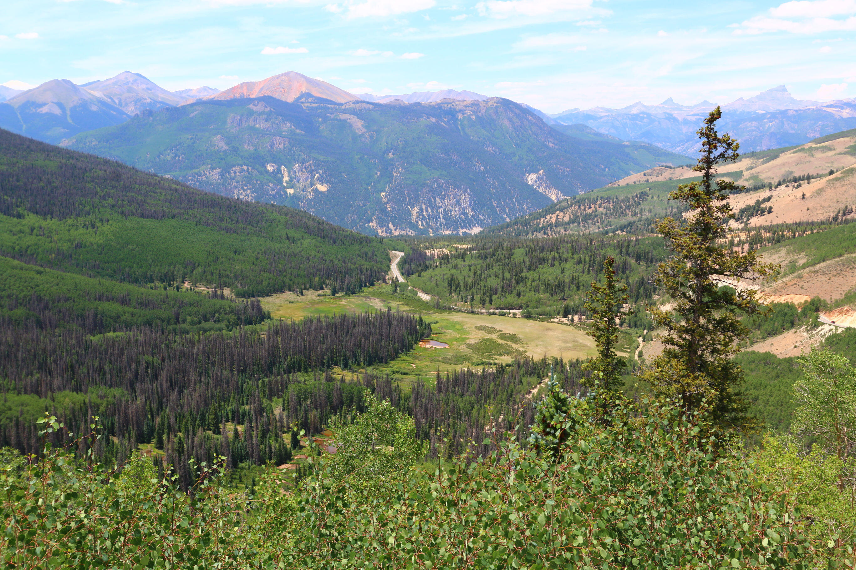
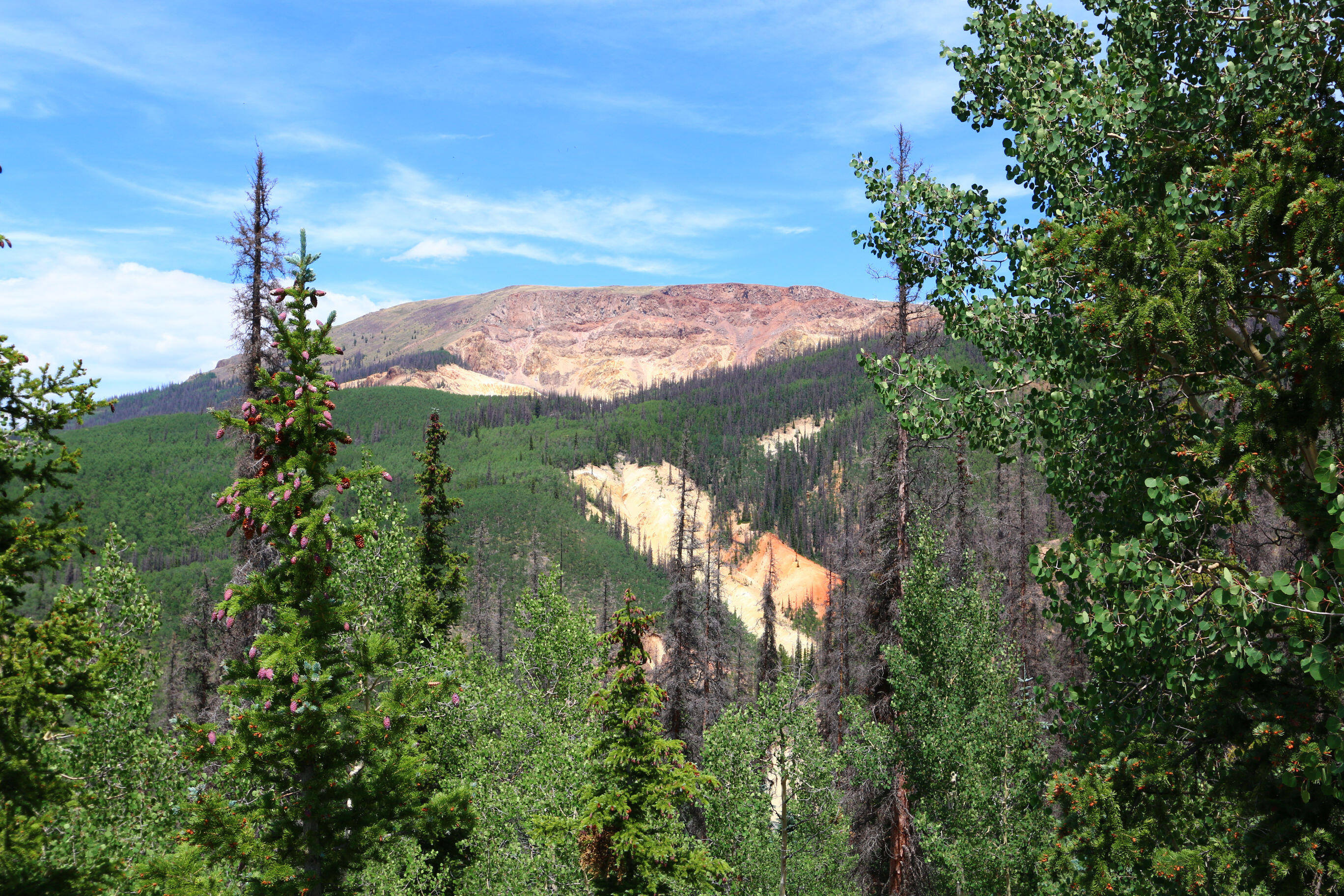
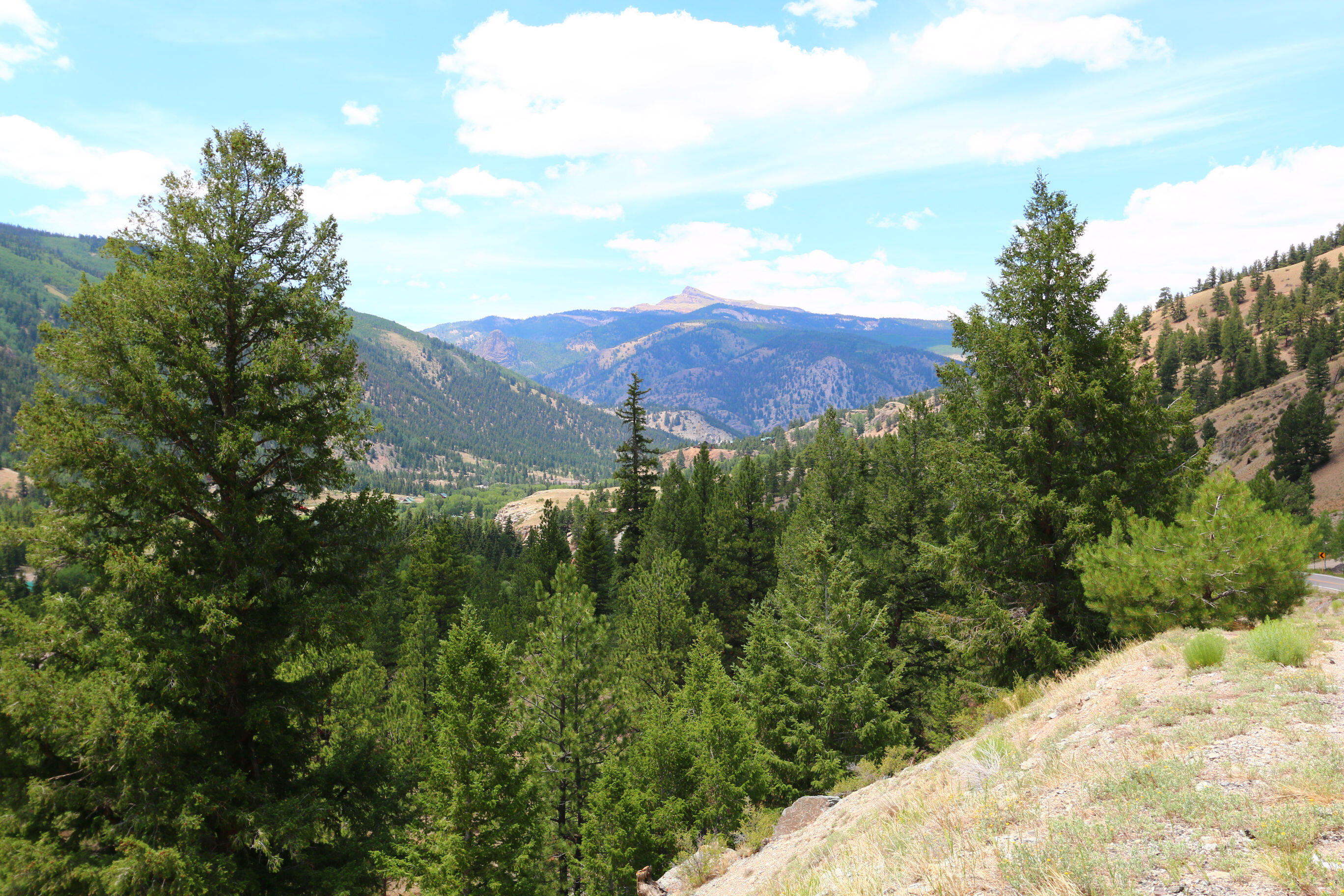
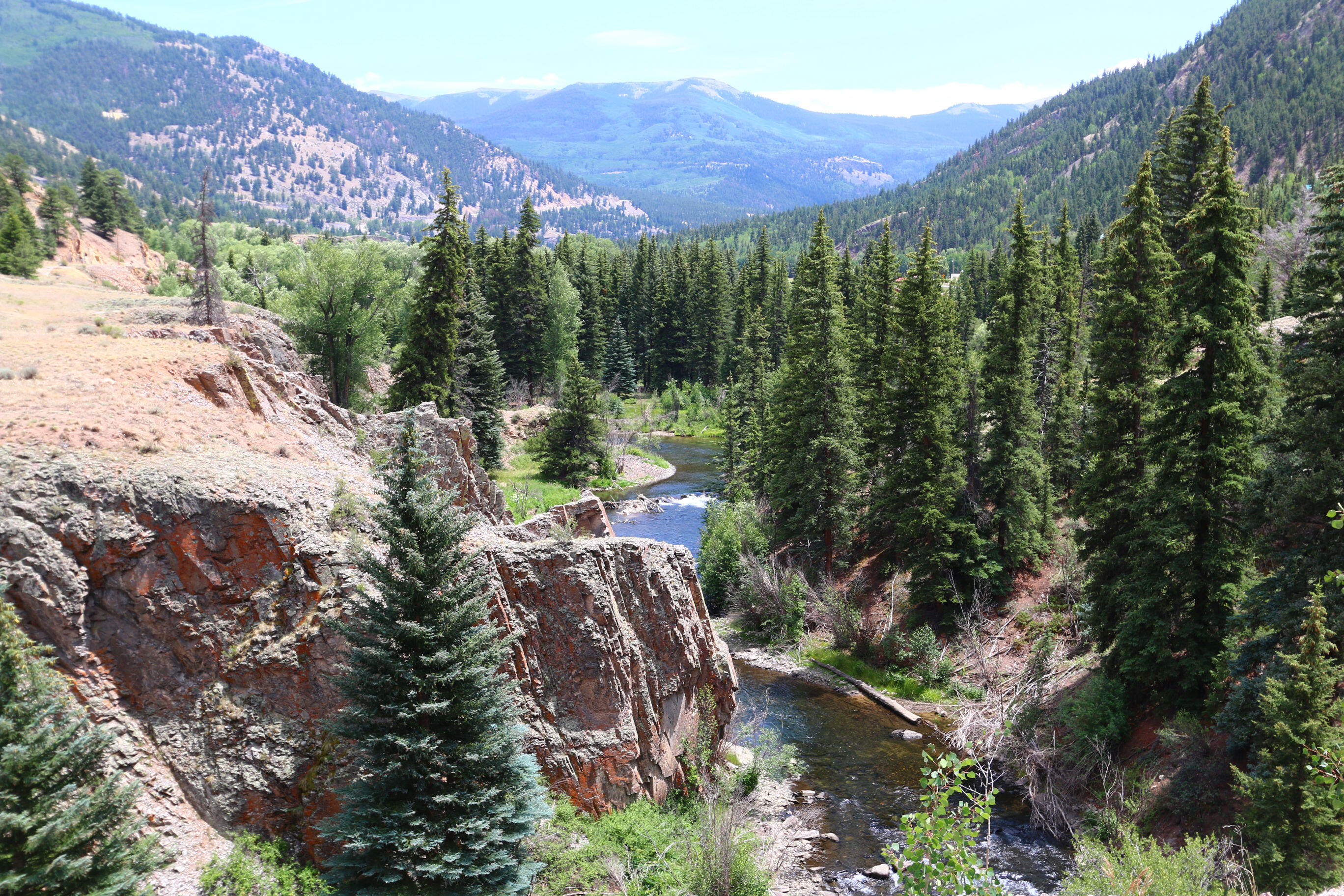
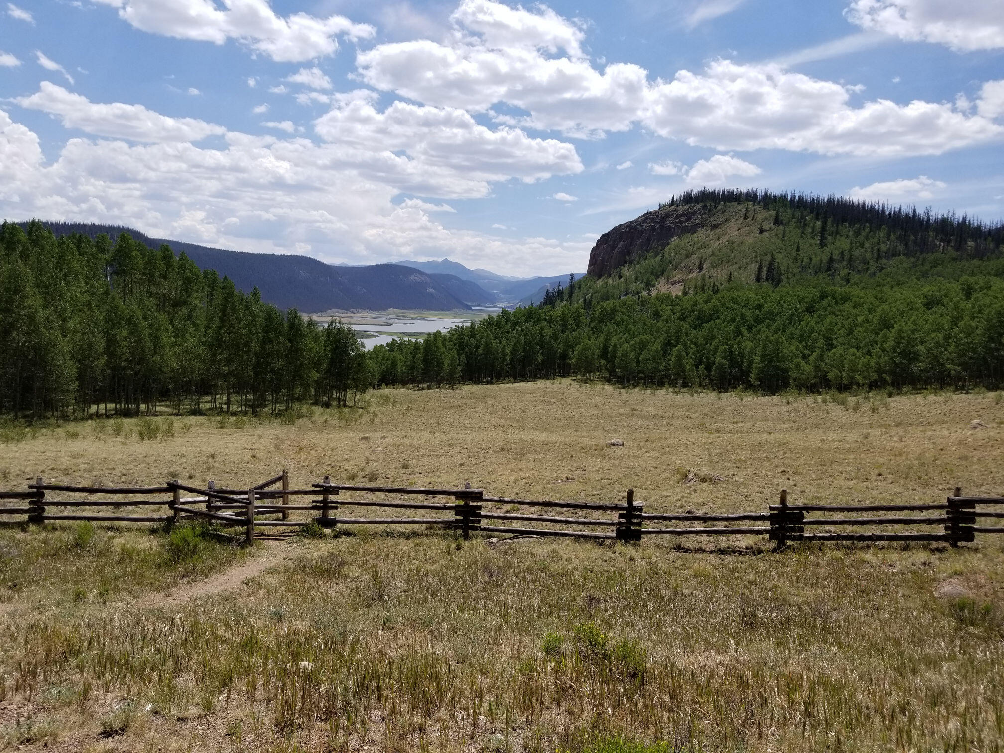
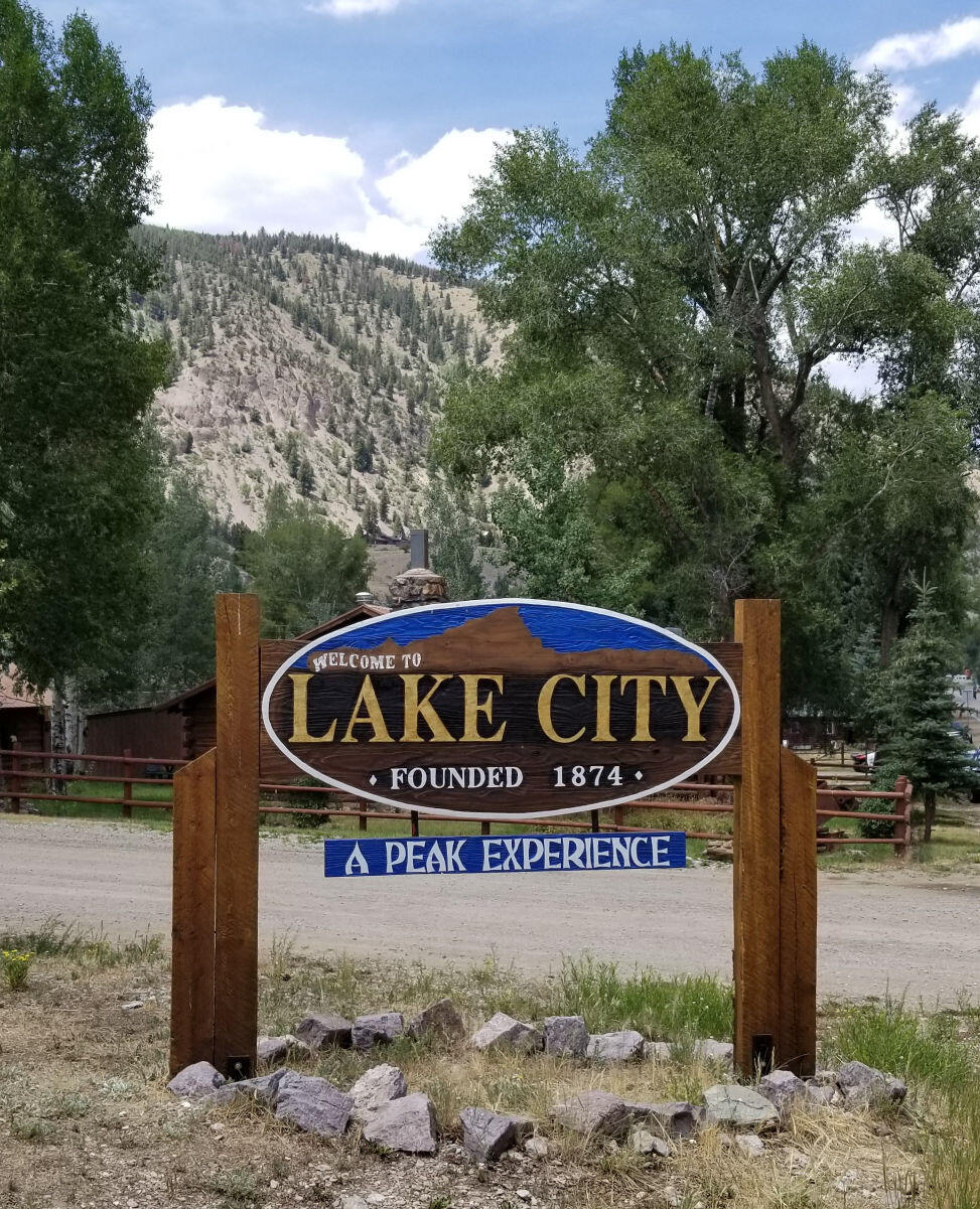
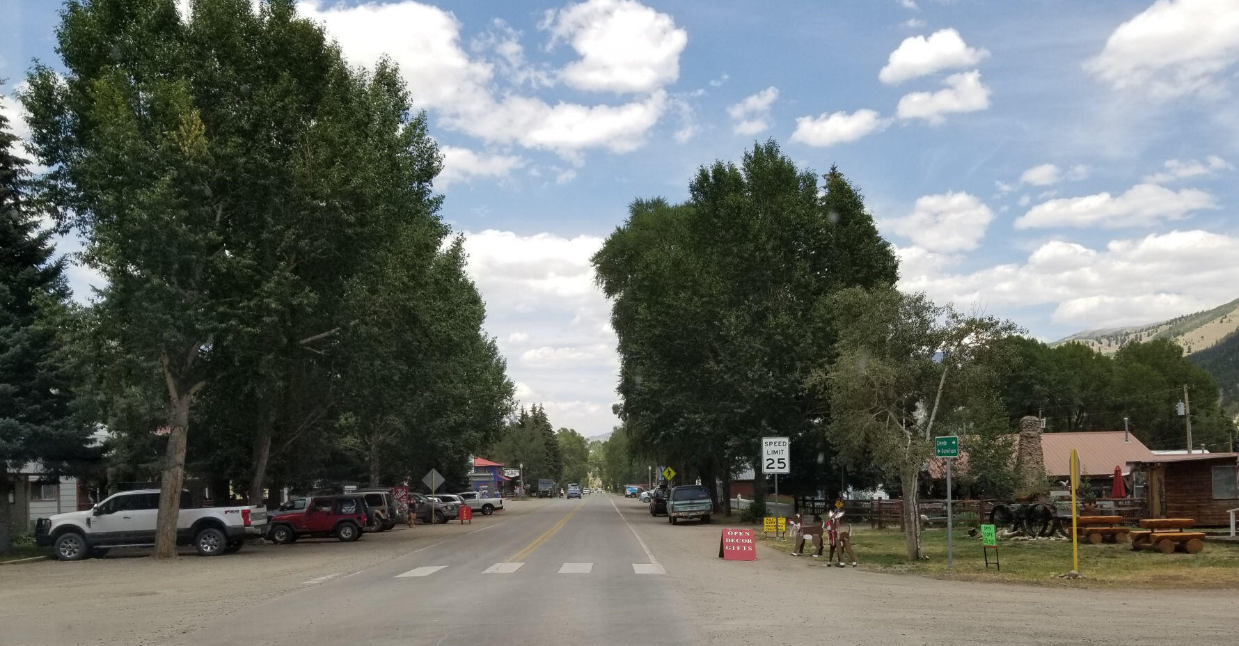
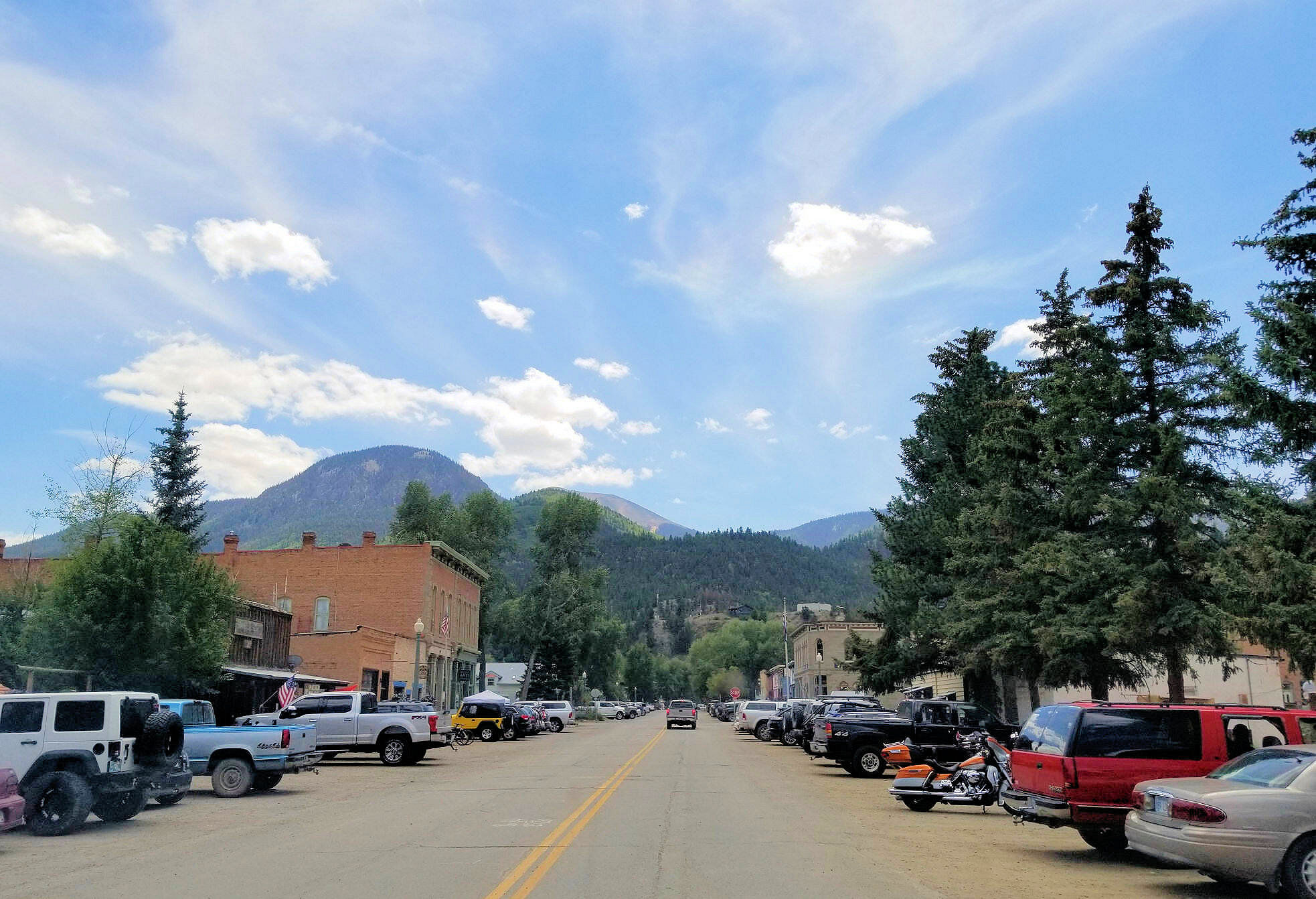
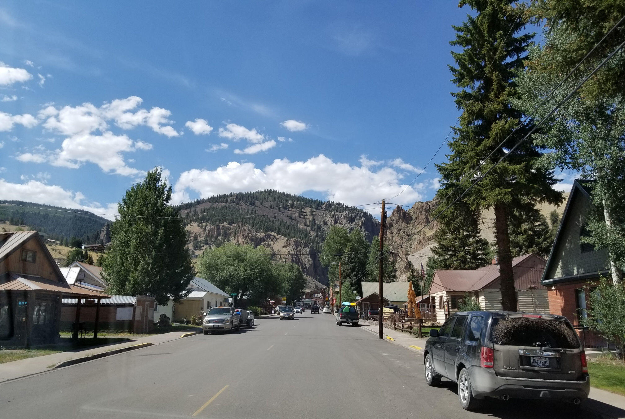
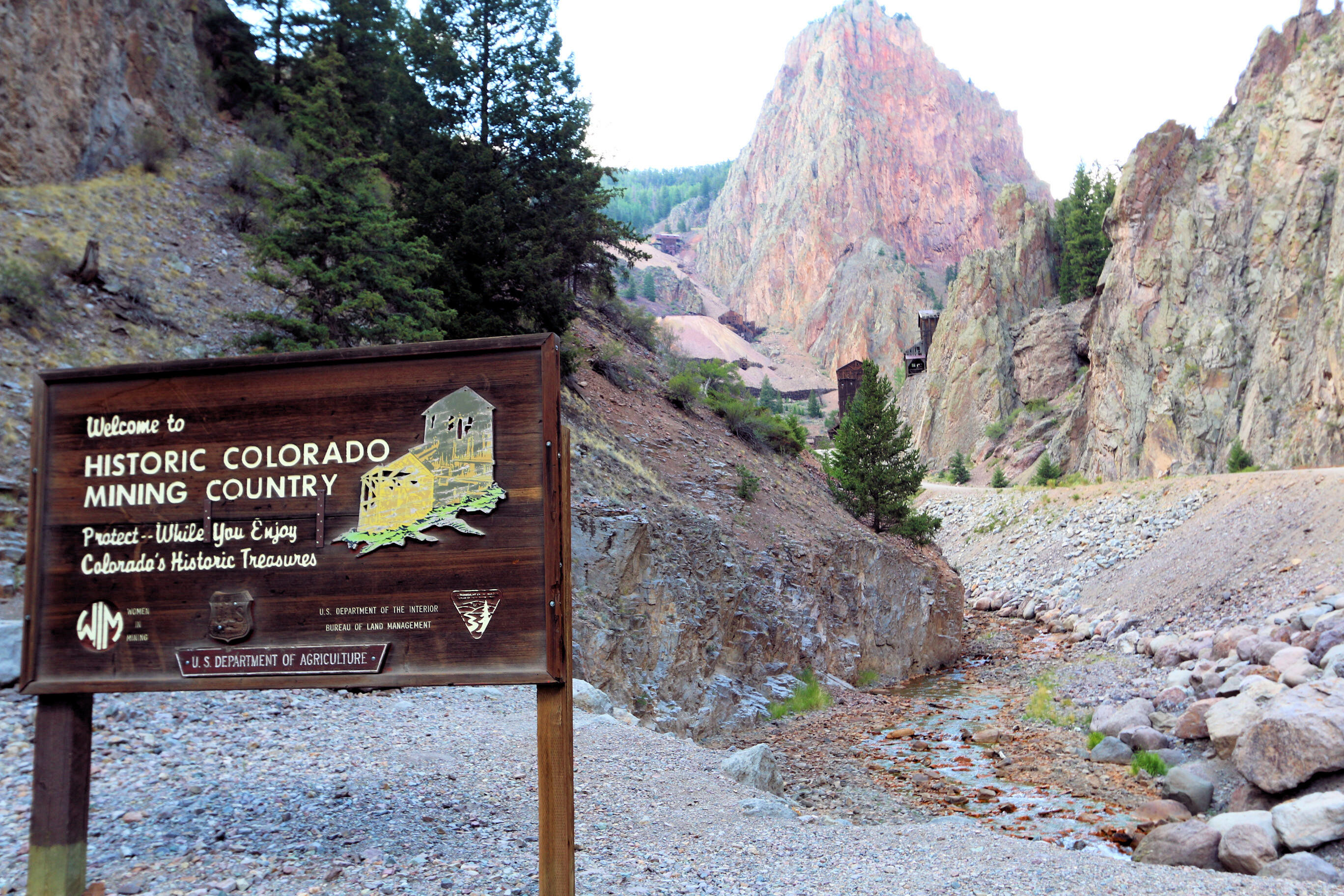
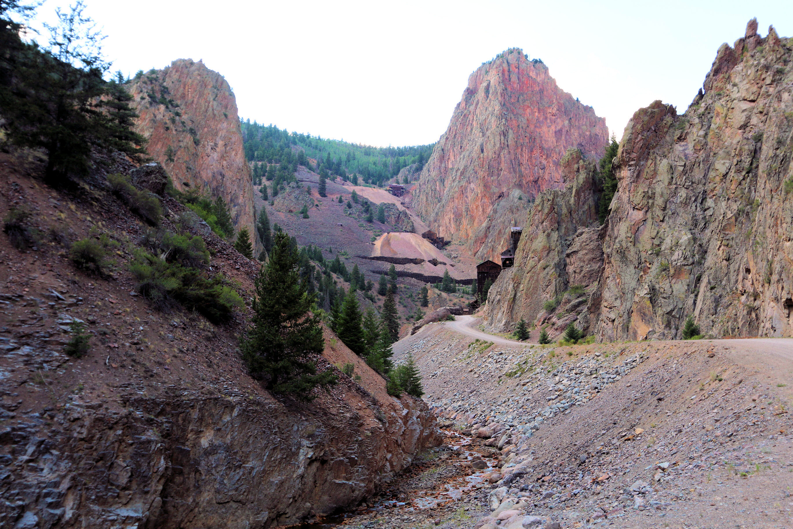
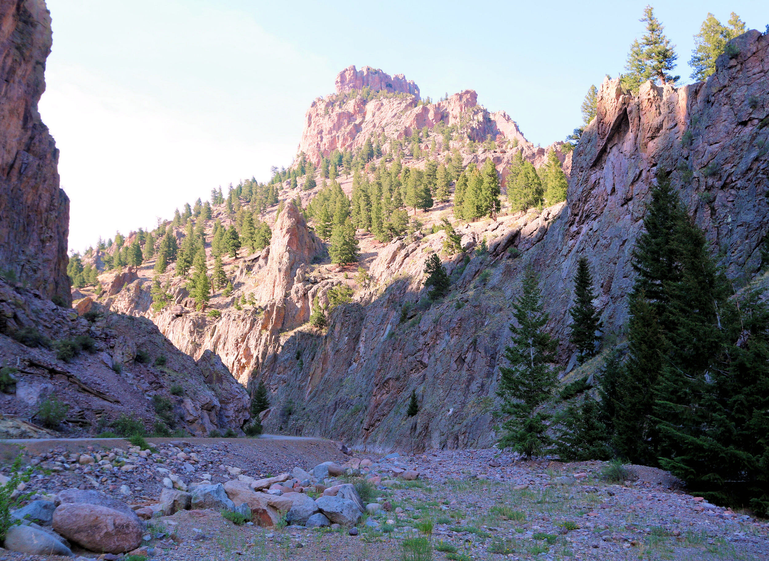
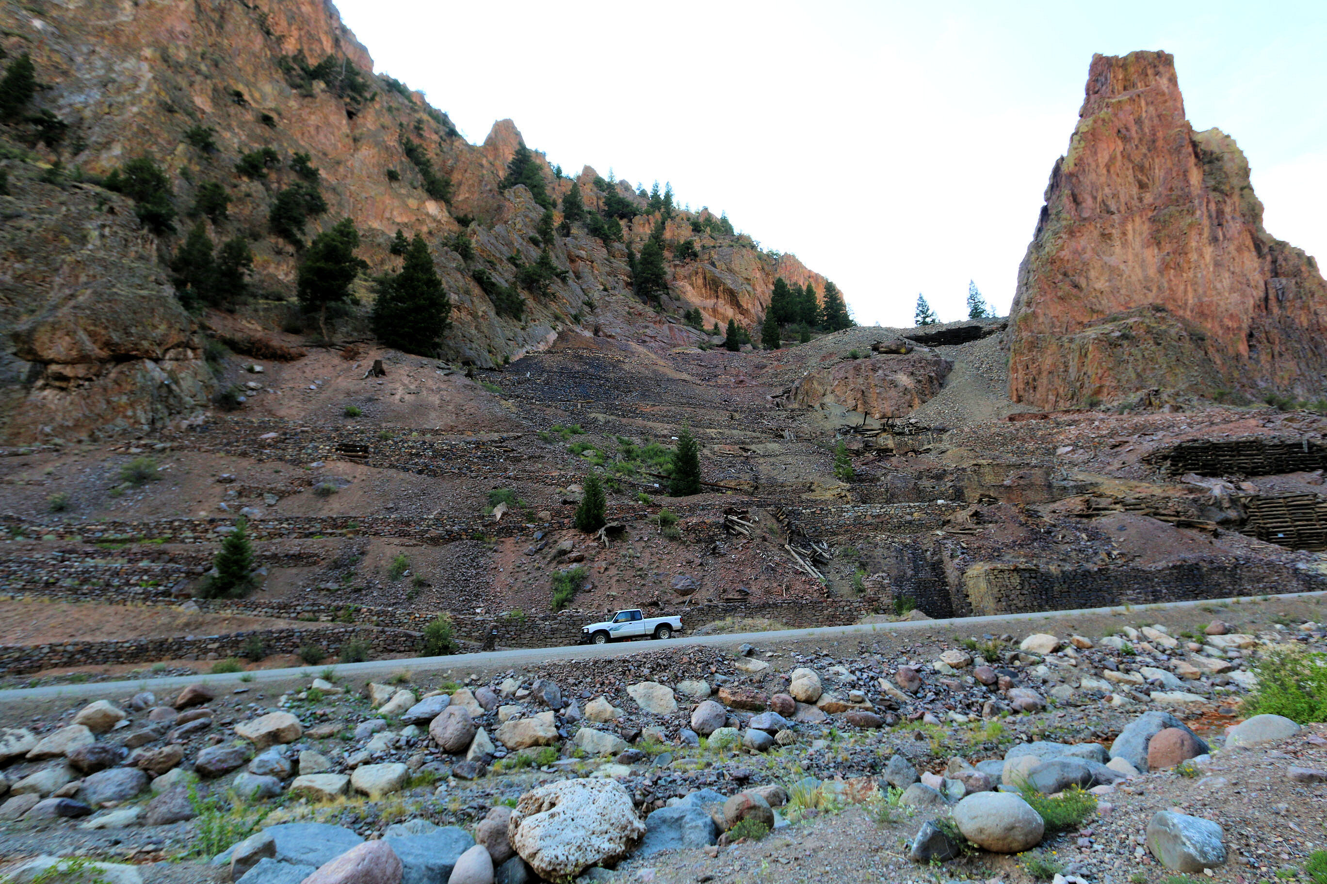
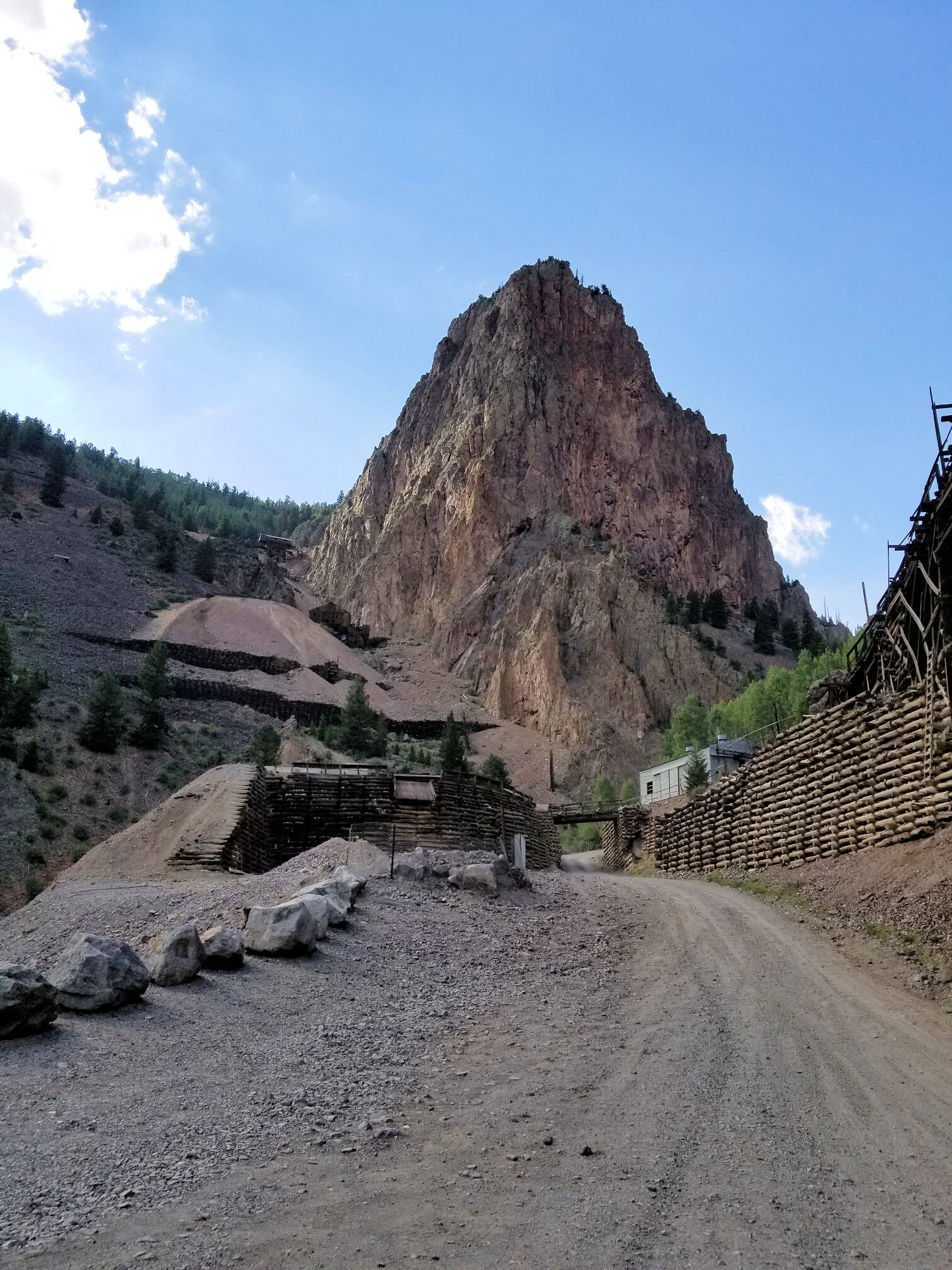
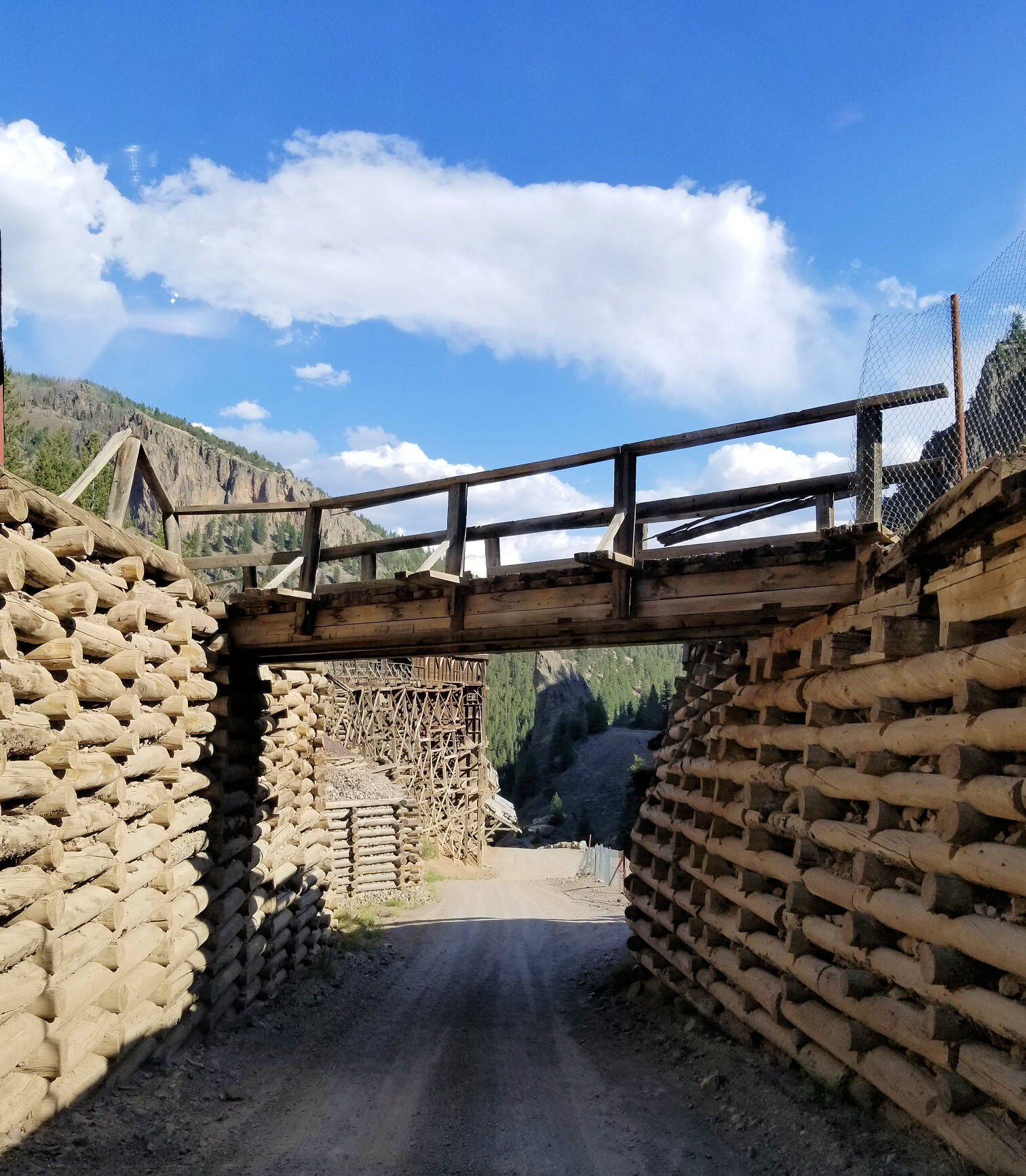
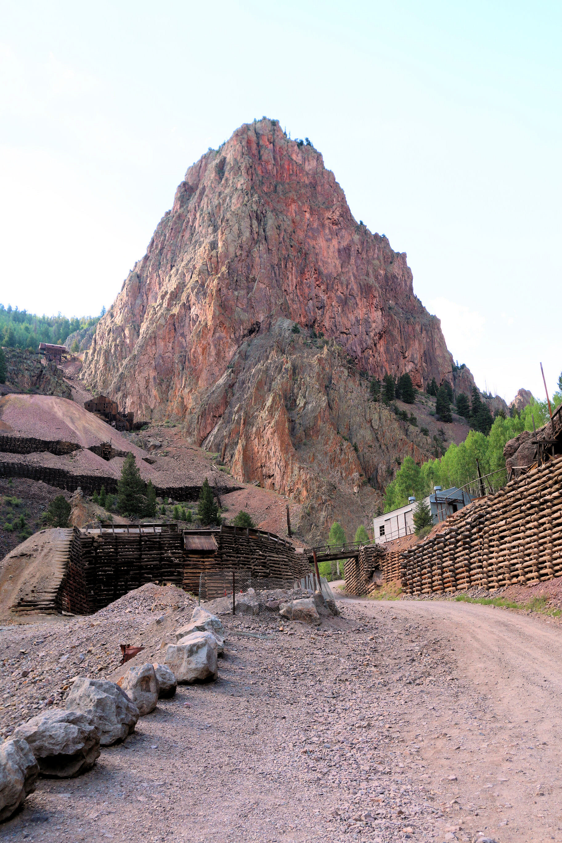
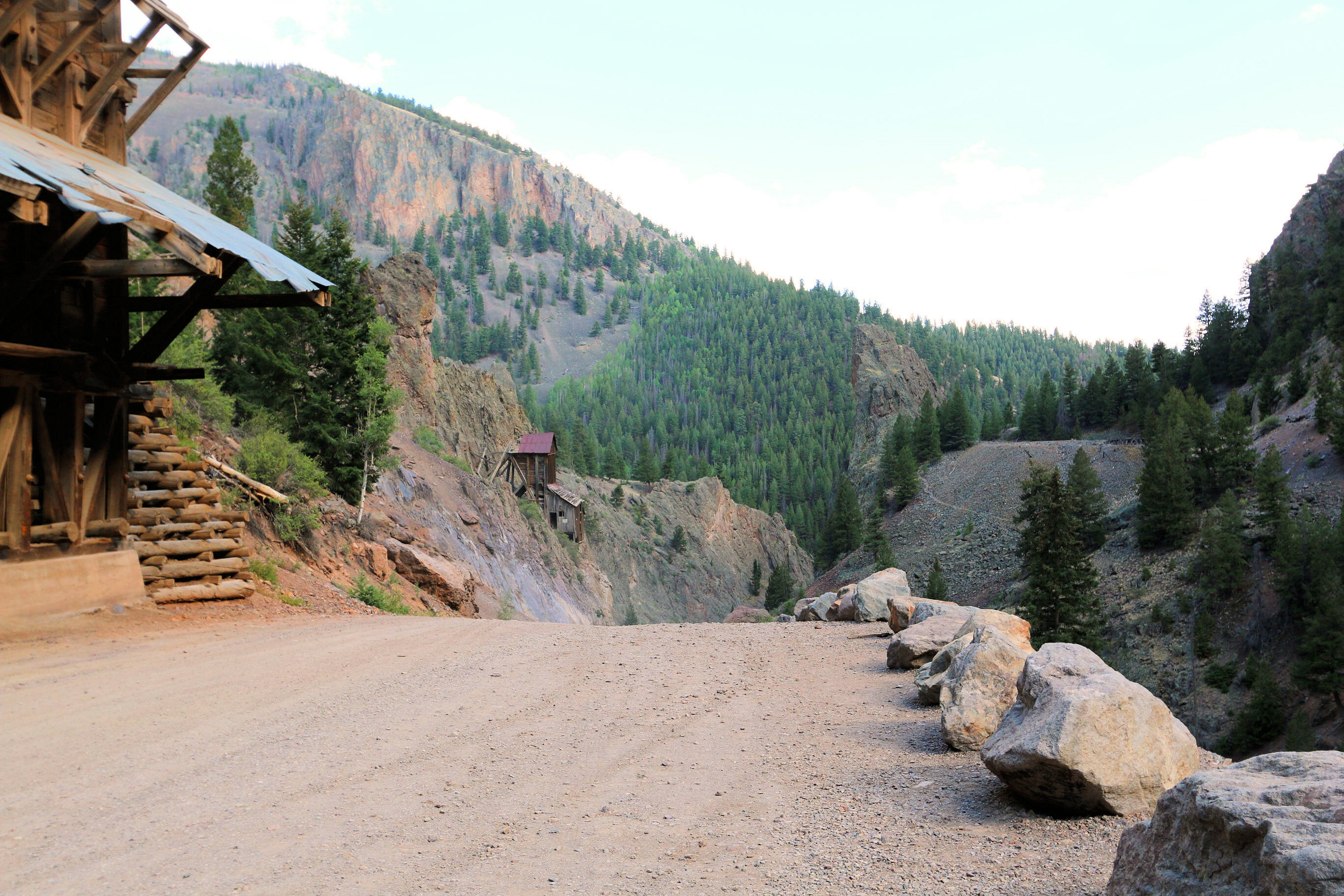
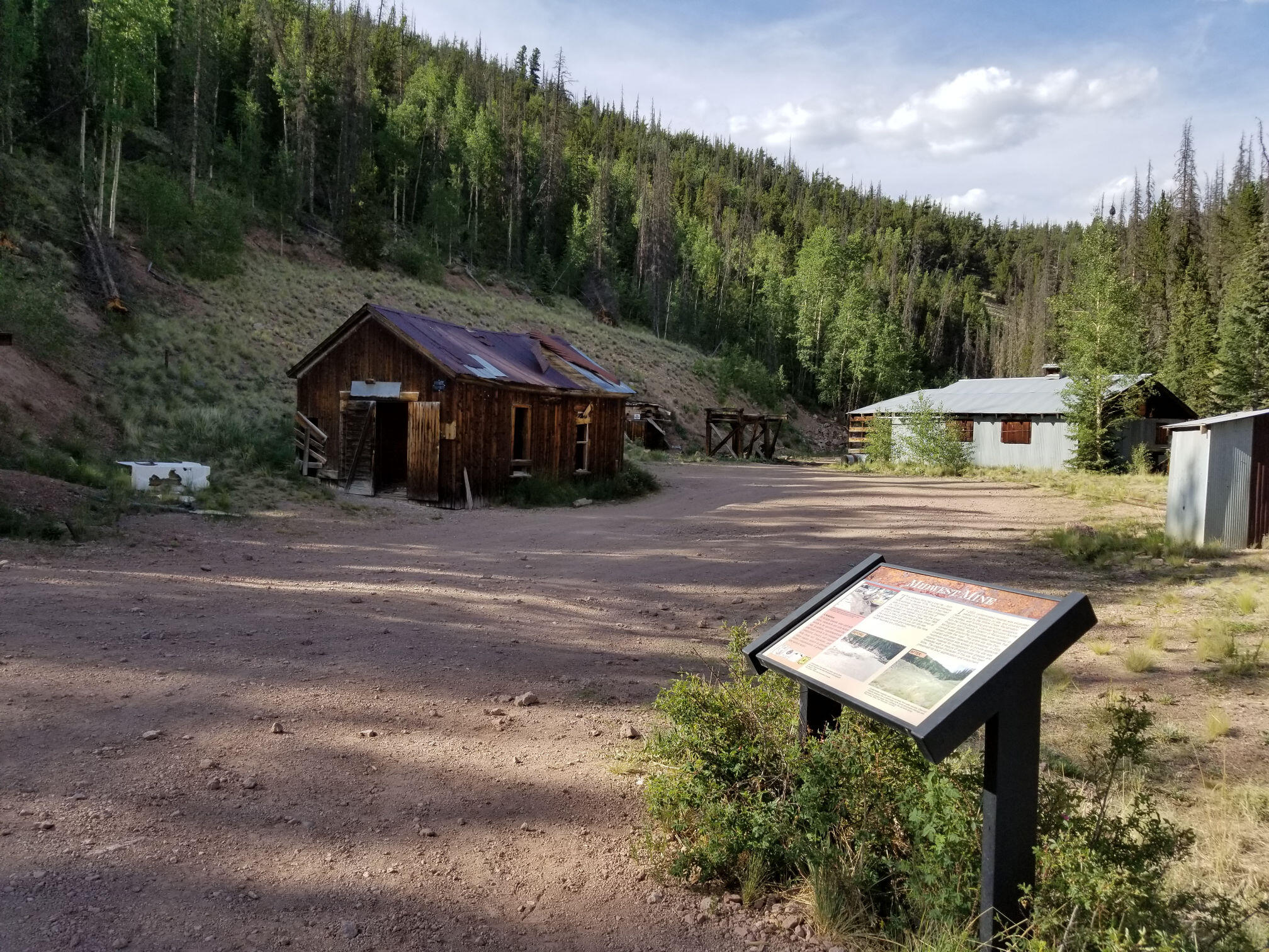
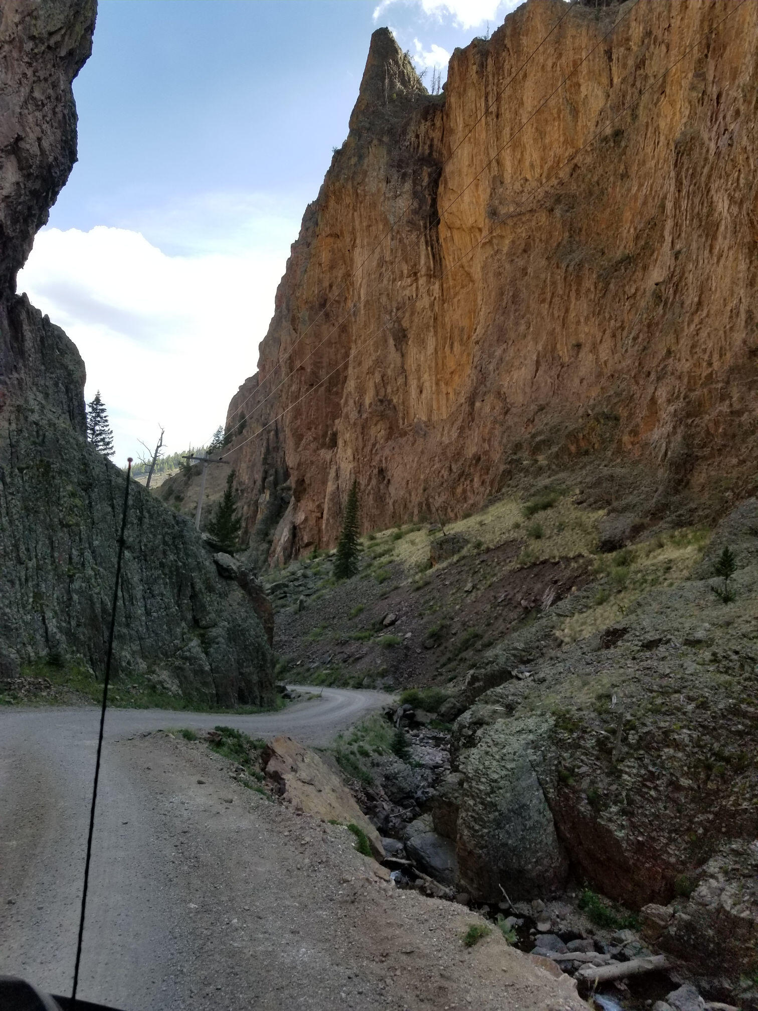
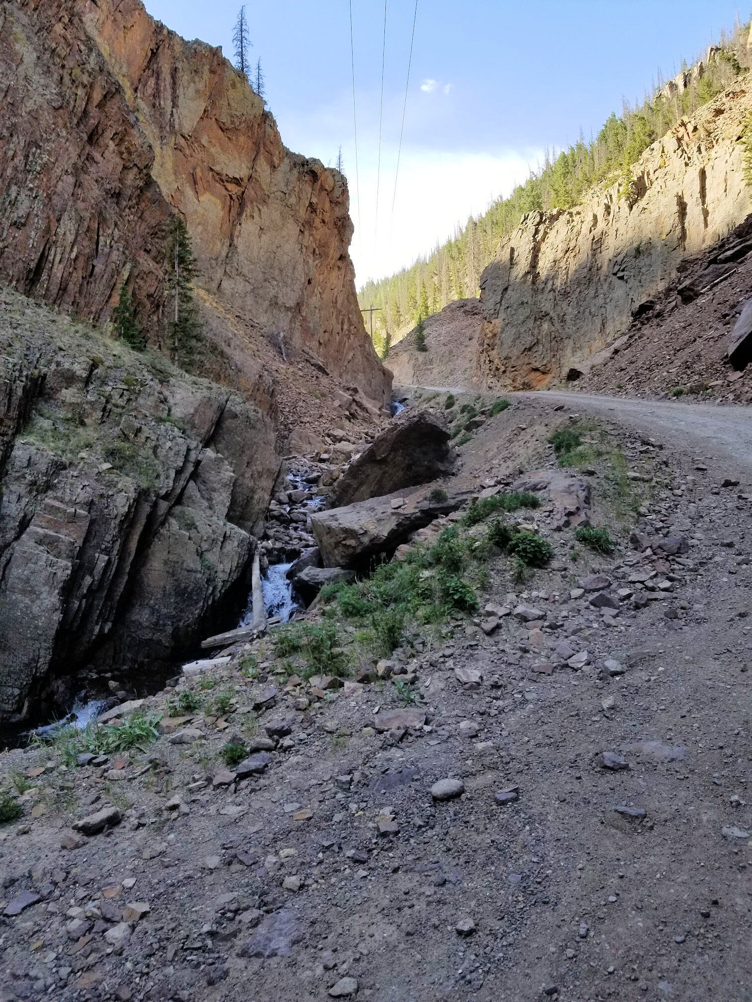
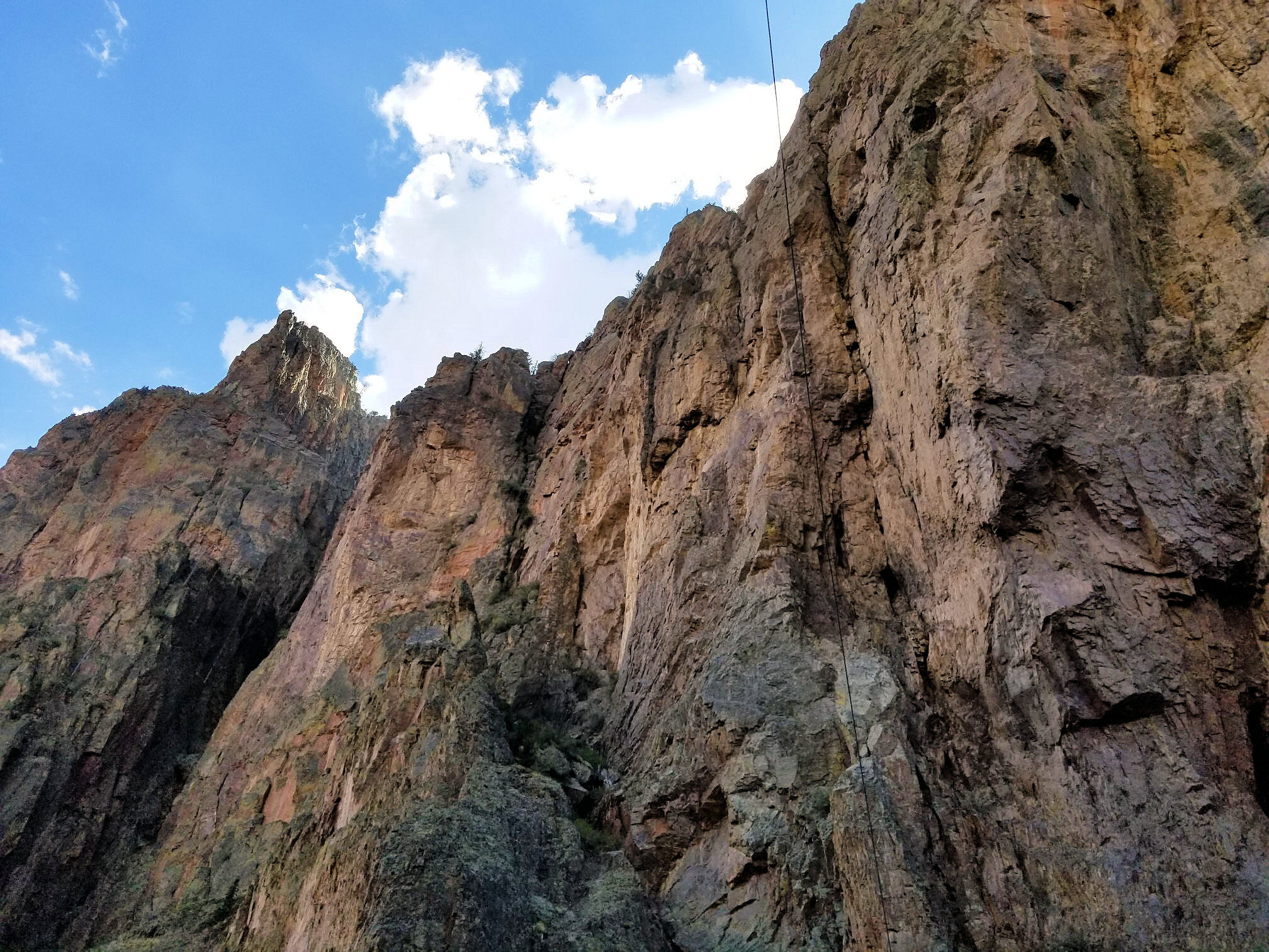
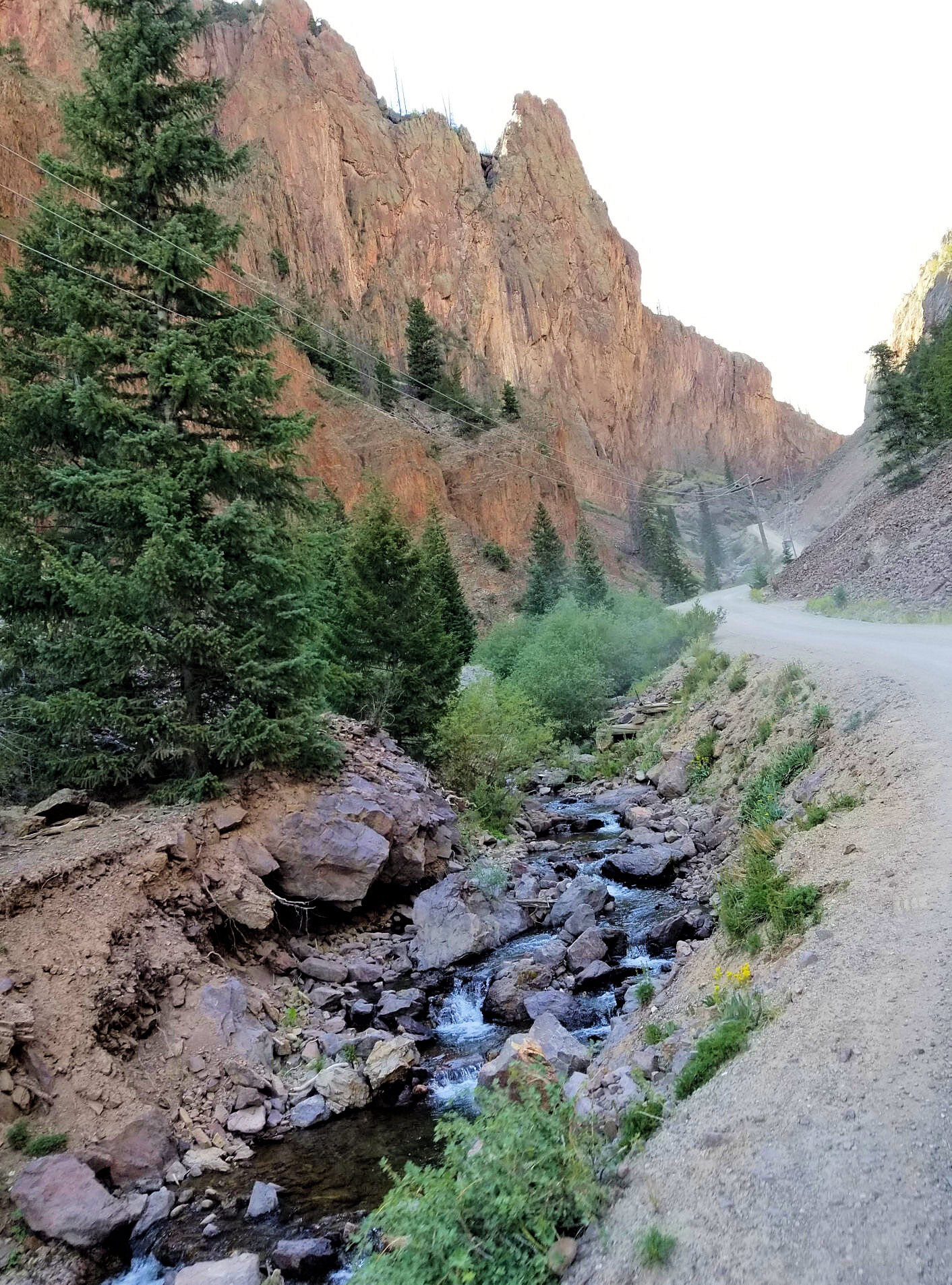
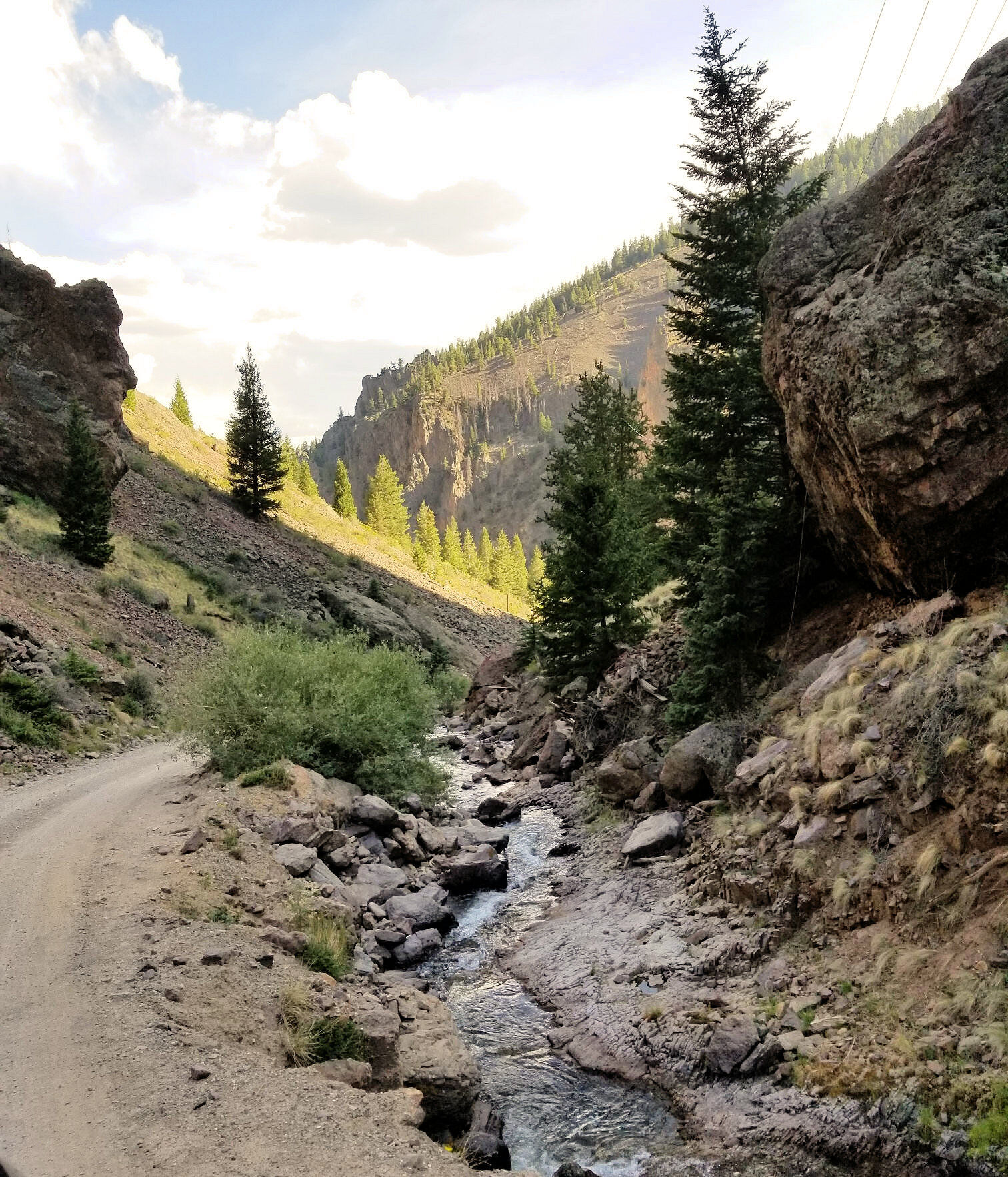
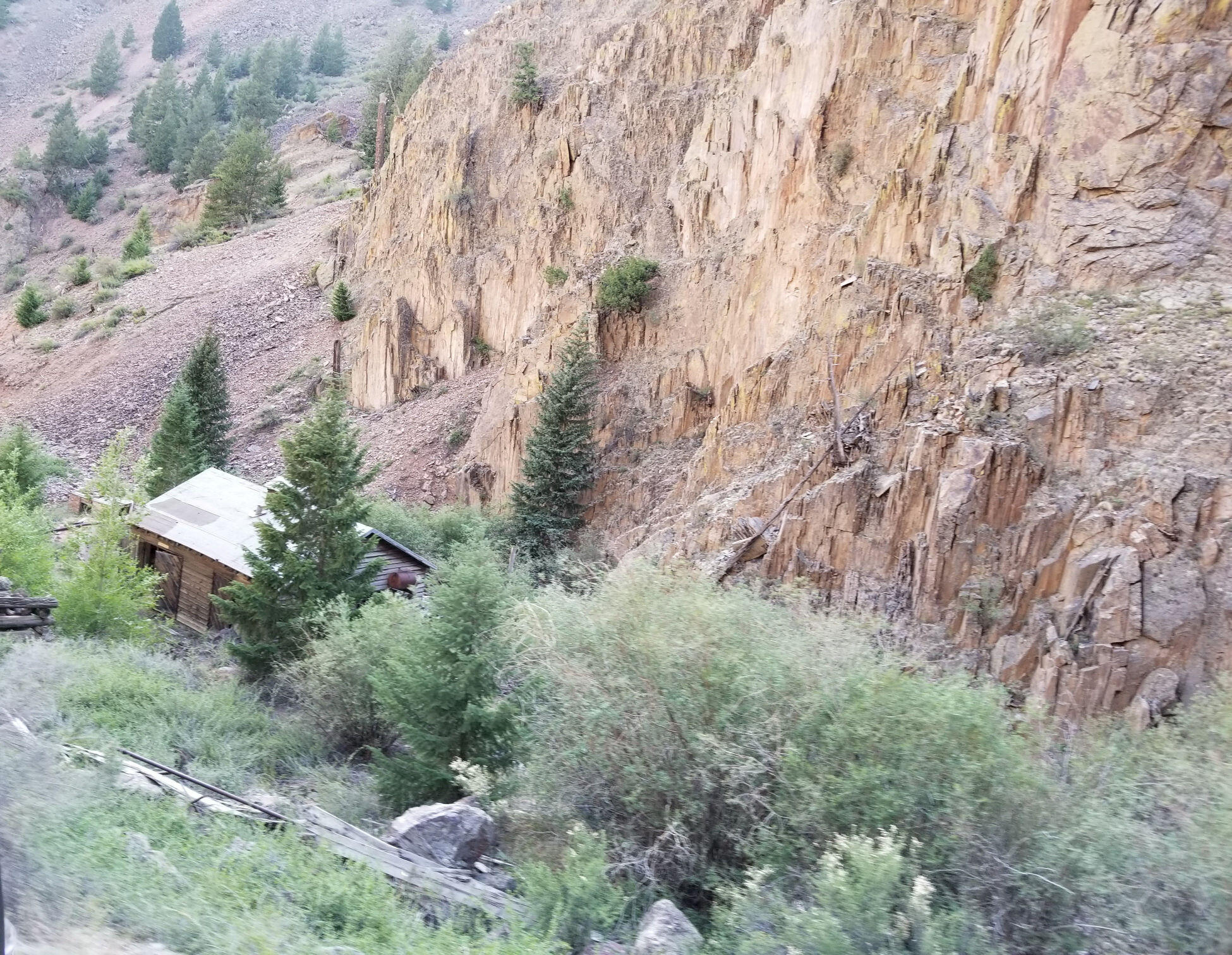
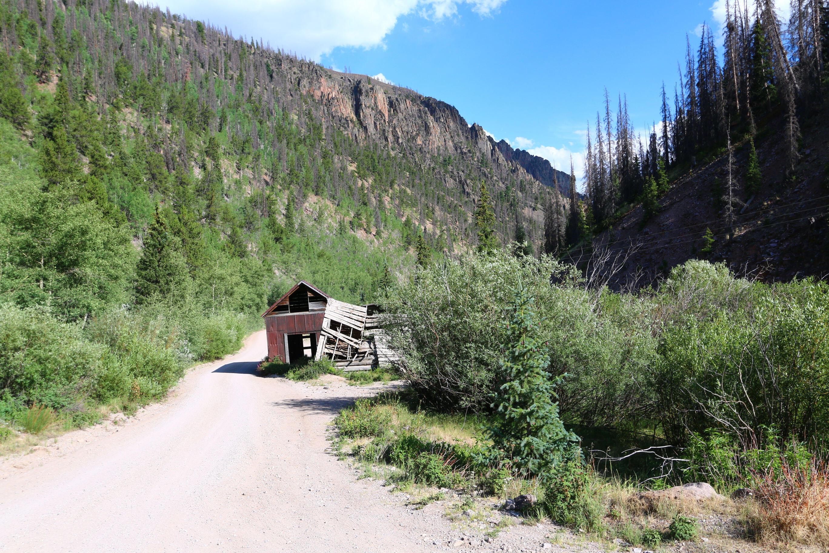
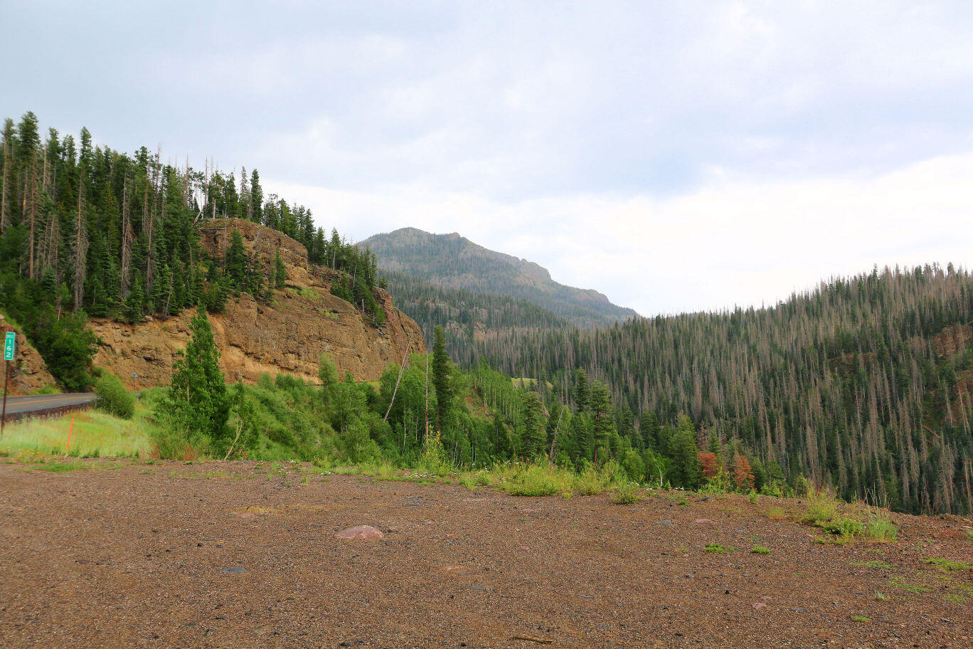
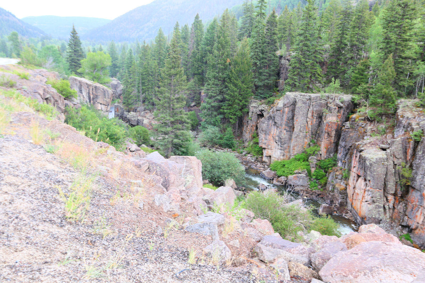
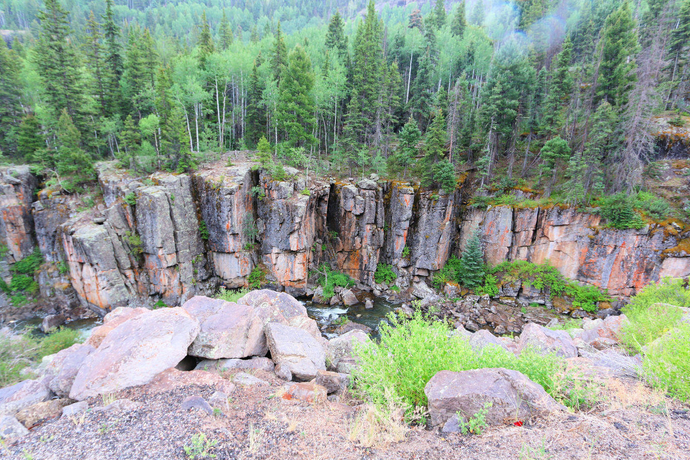
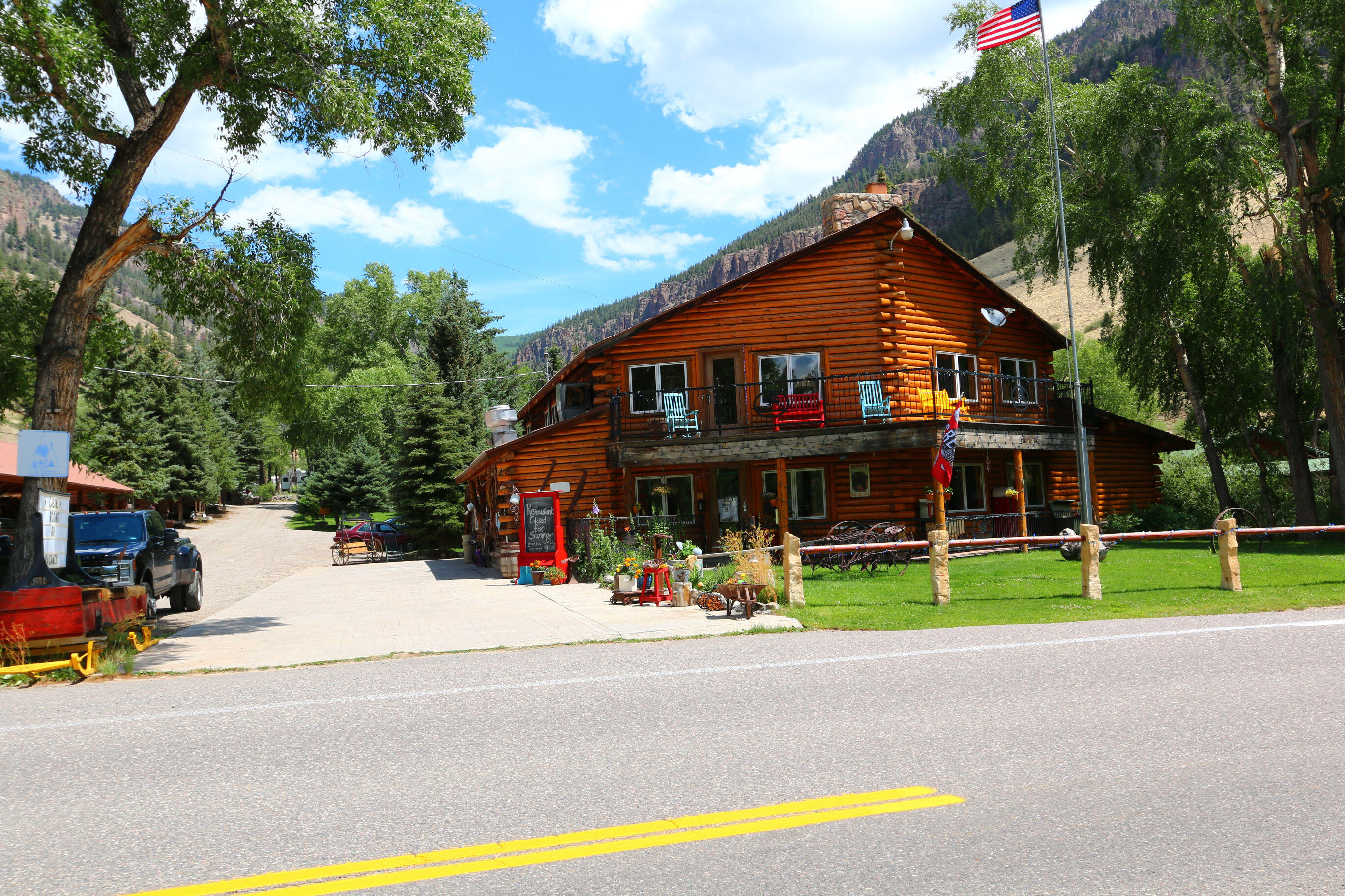
The Silver Thread Scenic Byway starts at South Fork and ends at Lake City in Colorado. We made a day trip to explore this area with special interest in the Blue Creek Lodge, Creede and Lake City. My family had visited Blue Creek Lodge about 60 years ago before I was born.  Although the original main lodge burned in the 70’s and was rebuilt a lot of the property looks similar to what it did then – although the trees have gotten a lot bigger. The byway included some georgous scenery that unfortunately pictures just don’t do a good job of capturing. After following the entire route up to Lake City, we returned to Creed for an early dinner and then we went part way around the Bachelor Loop a tour through the historic silver mining district and ghost towns above Creede. While much of the loop can be driven with 2 wheel drive vehicles, we were glad to have 4 wheel in several areas and we didn’t even get up to some of the more remote areas. The scenery along the loop was georgous as was the byway.

Pagosa Springs

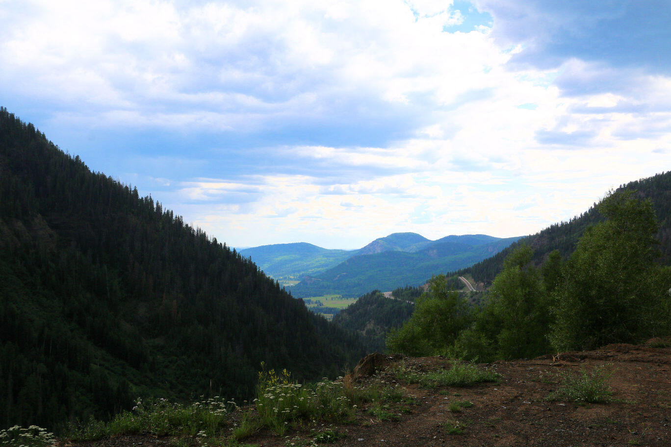
Pagosa Springs is a town in southwest of South Fork known for its hot springs. It is surrounded by the rugged San Juan Mountains and vast areas of national forest. The San Juan River, with its abundant trout, runs through town. We took a quick day trip here mostly to enjoy the scenery along the drive down. While there, we did go through the Pagosa Springs History Museum where you can see how the pioneers lived in the area from the 1890s to the early 1900s.

South Fork Logger Days

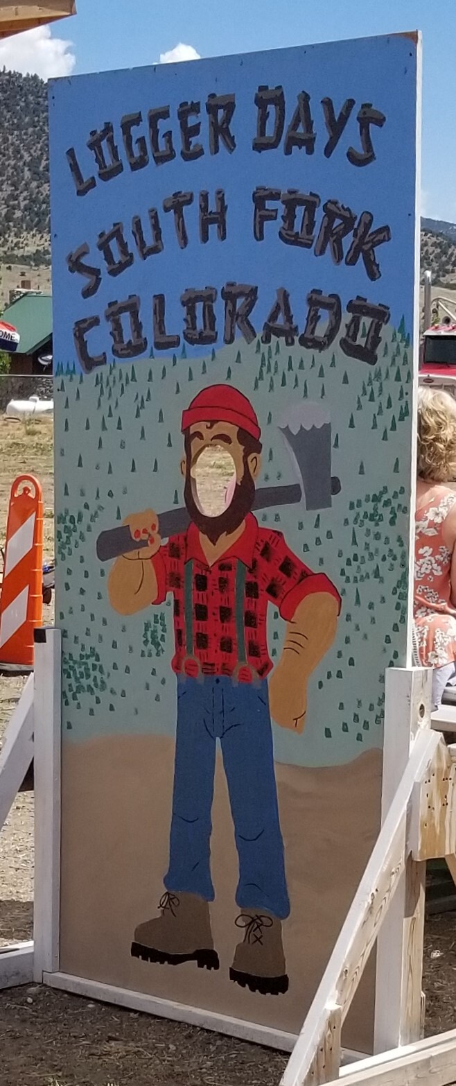
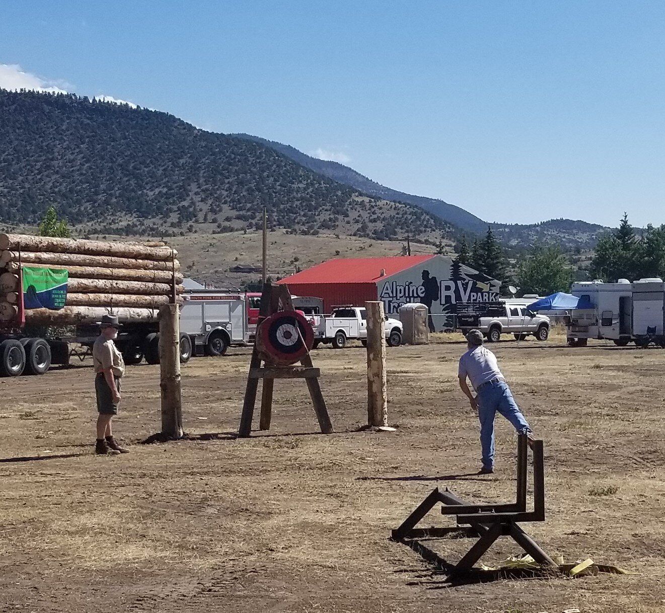
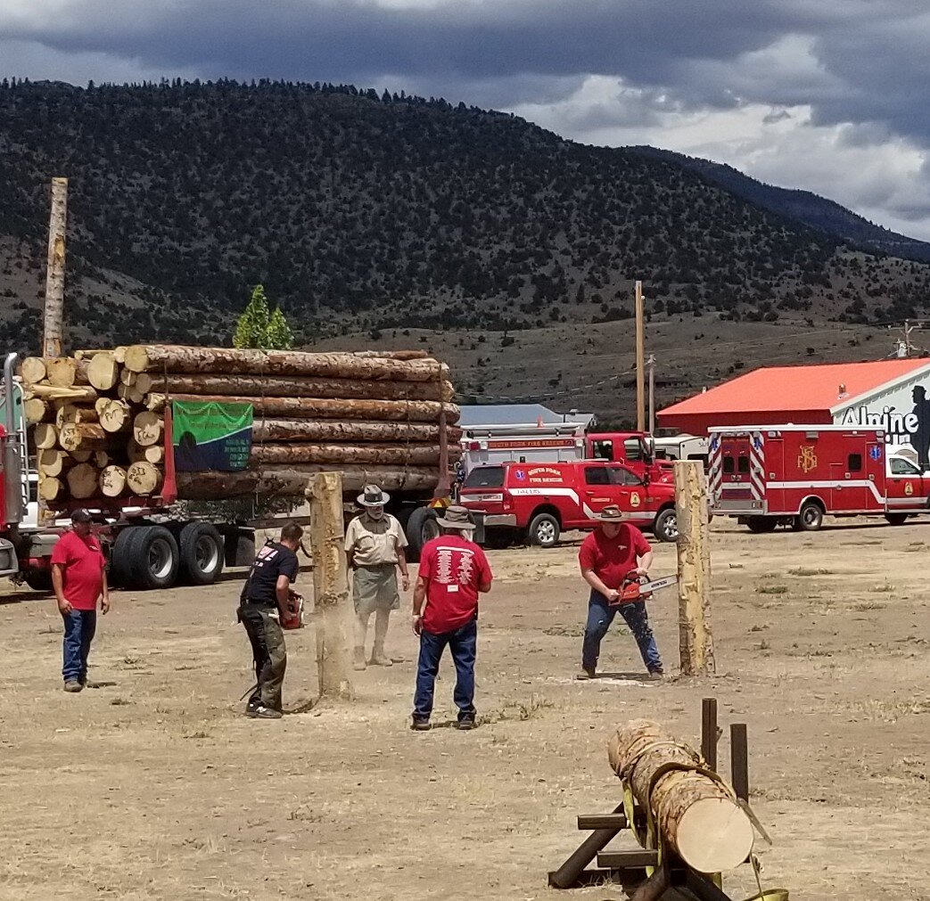
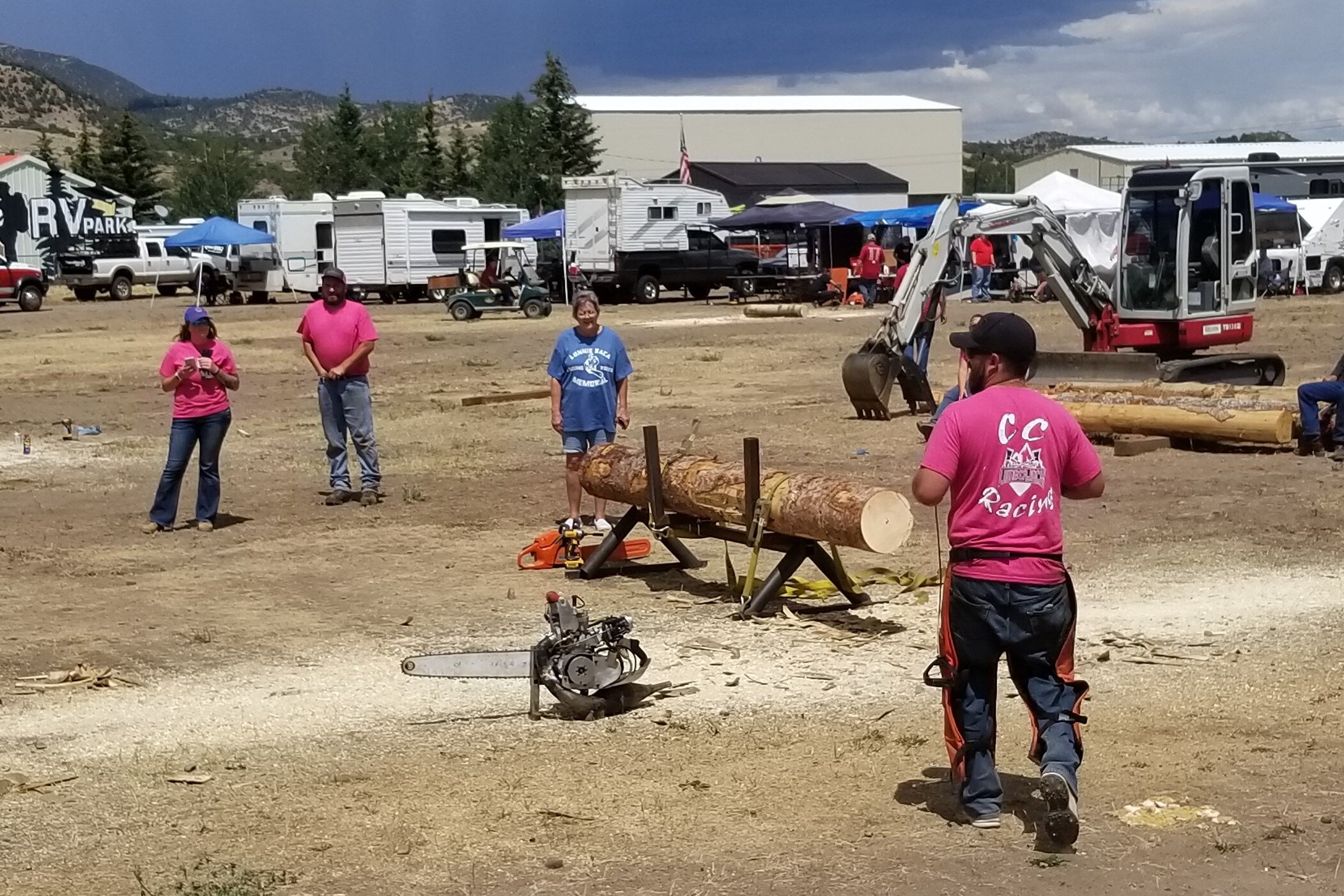
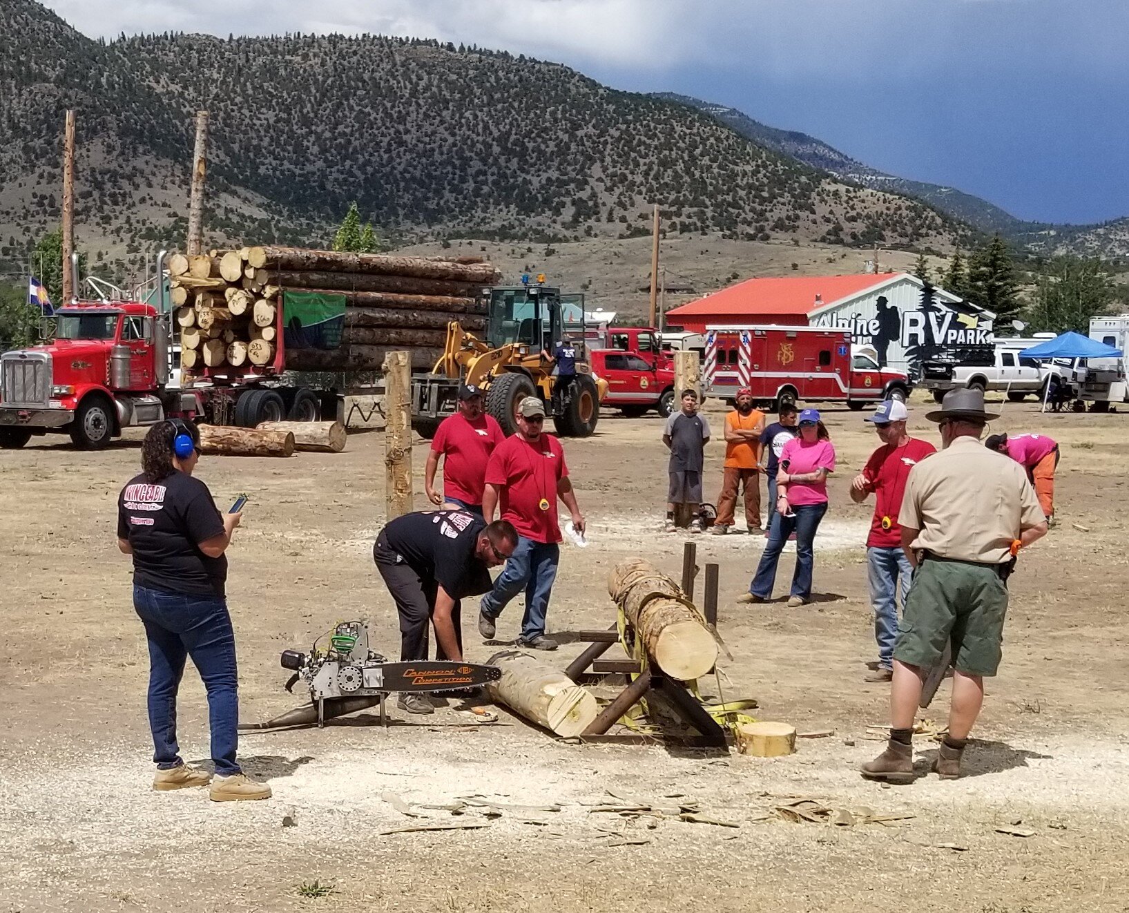
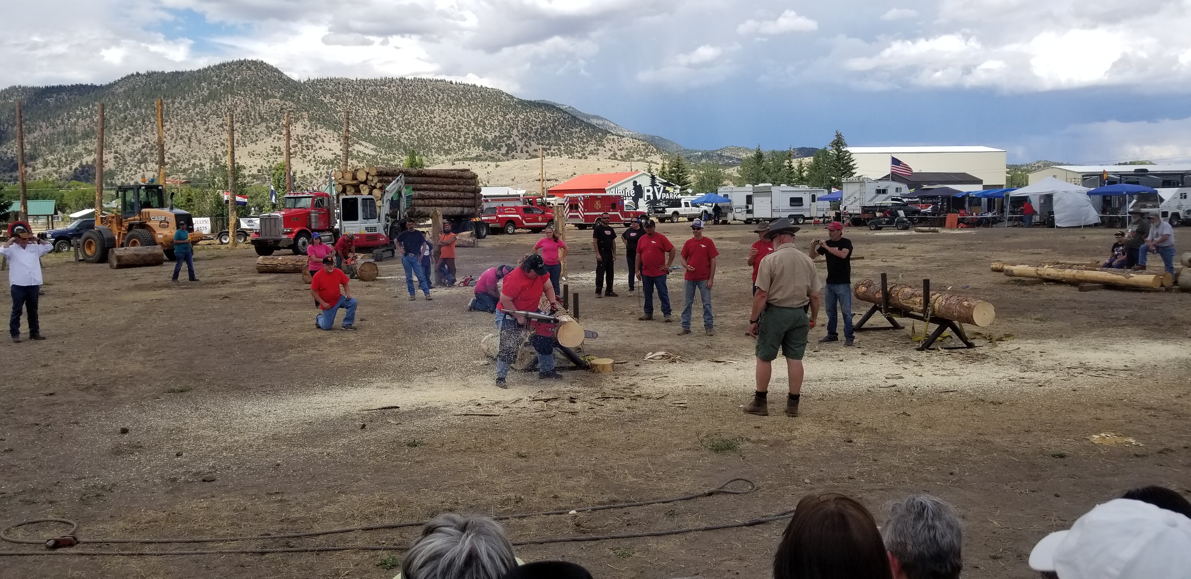
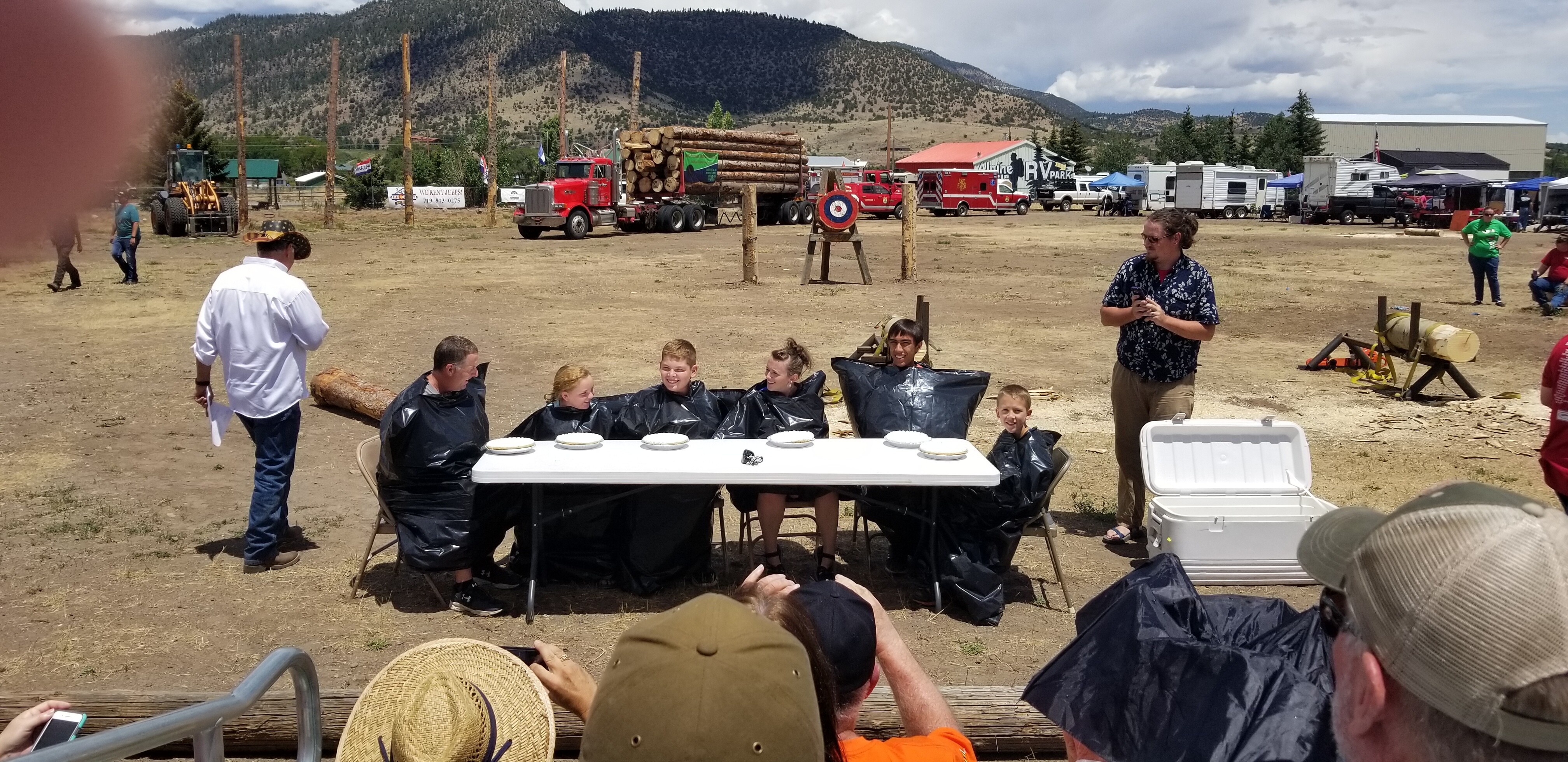
While we were in South Fork we were lucky enough to be in town for theor annual Logger Days Festival. For over 130 years logging was a major industry in the area until it declined and finally died in 2001. The festival keeps the skills and traditions alive and includes both men and women competing and showing off their skills.

Great Sand Dunes

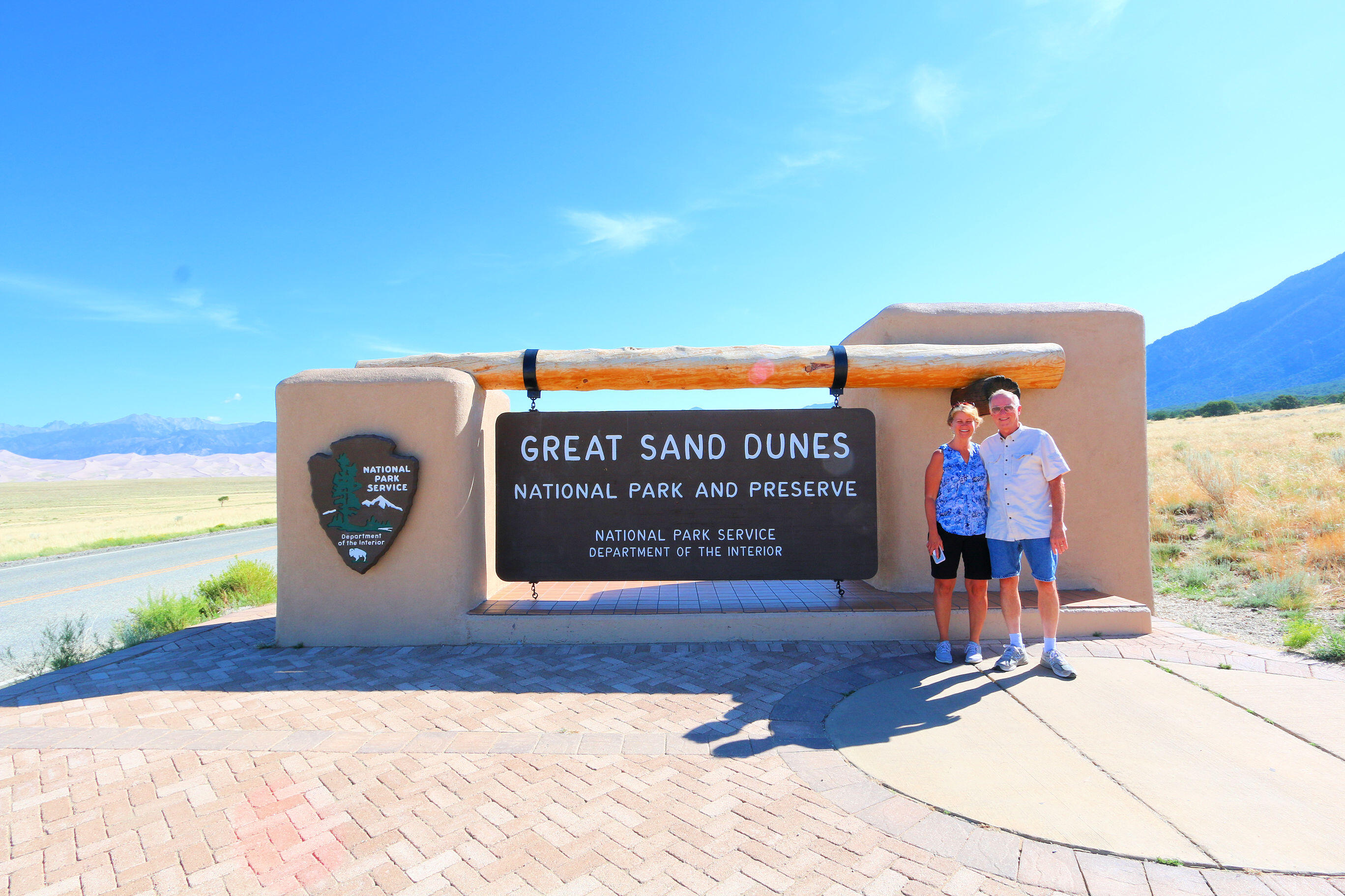
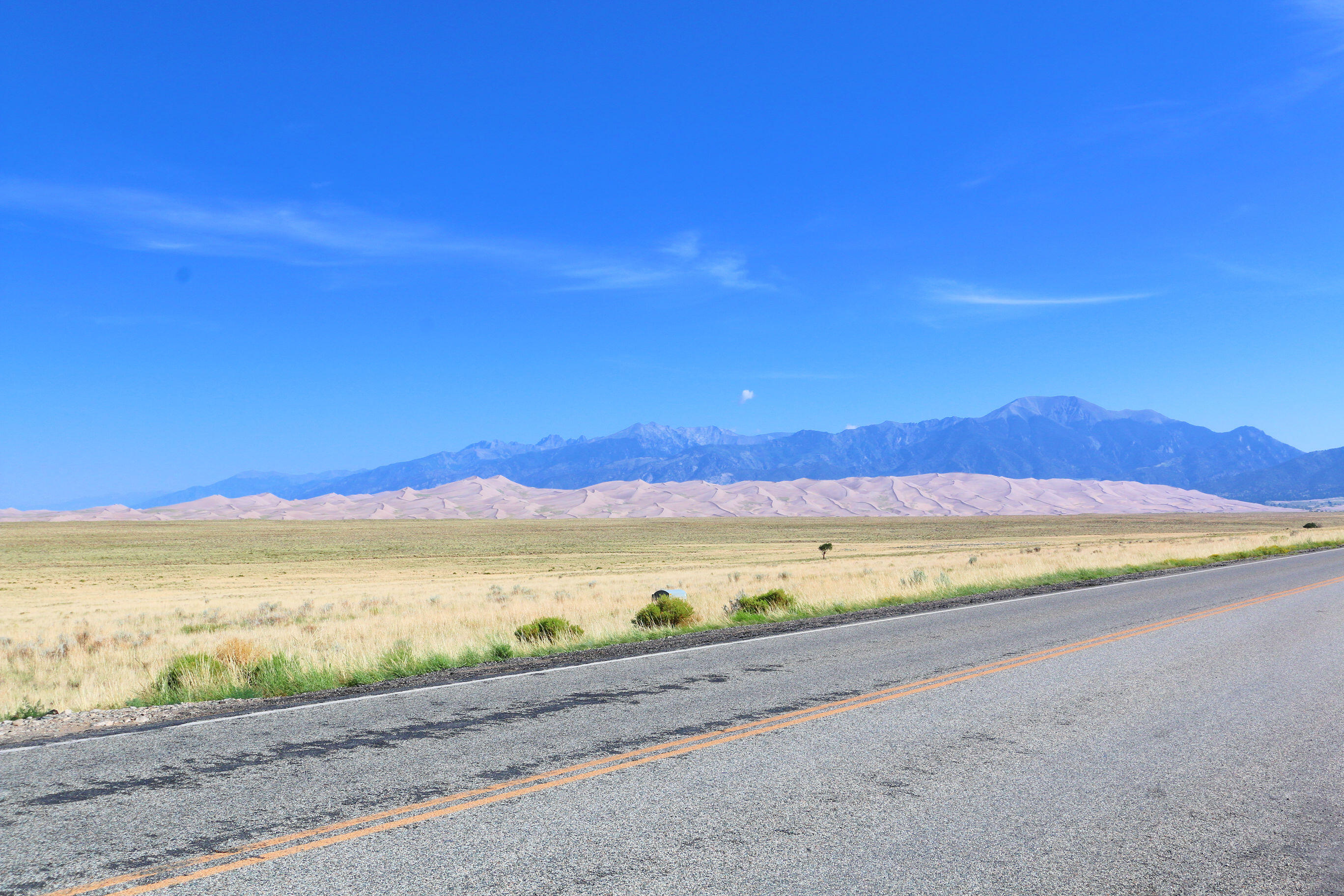
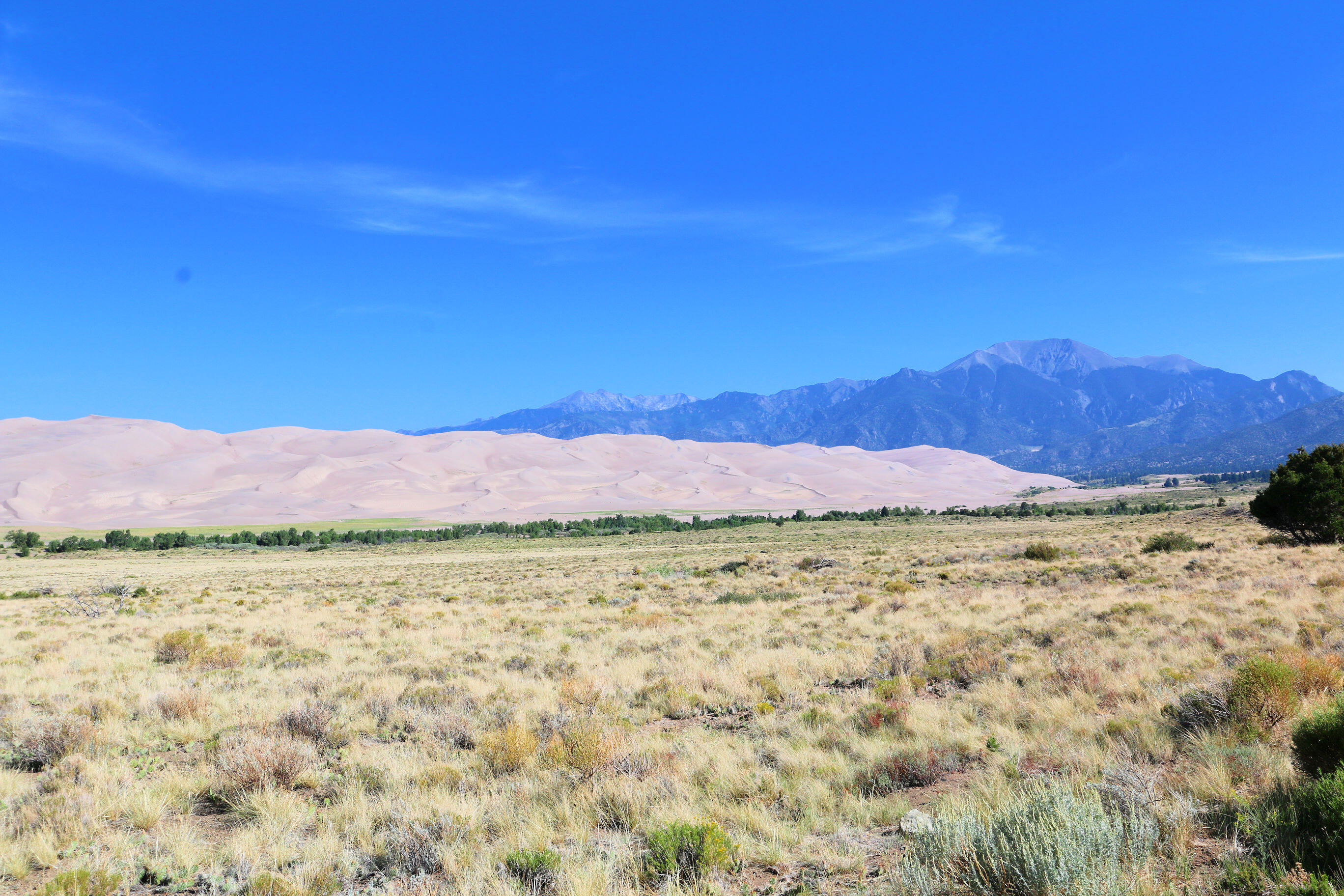
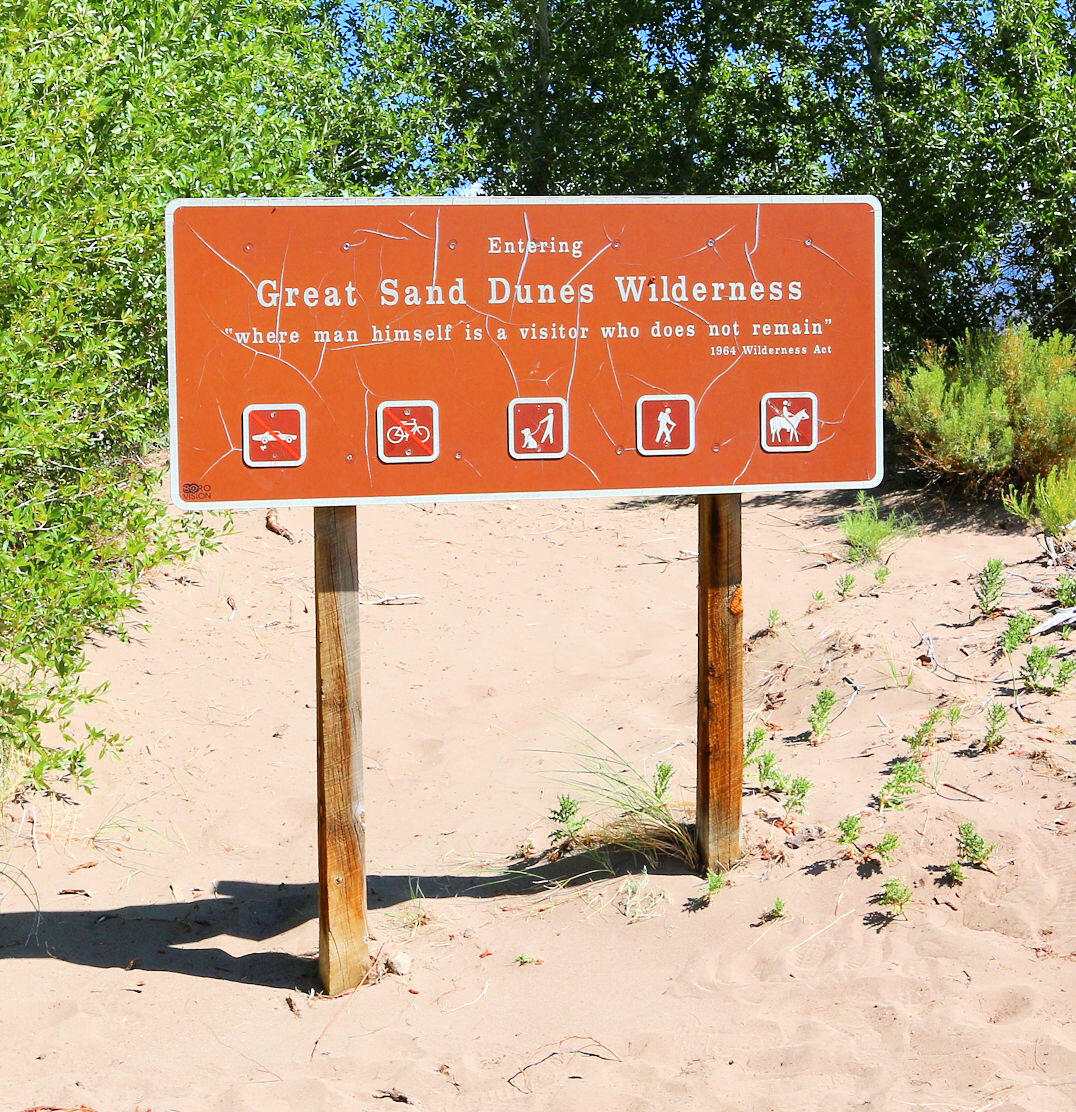
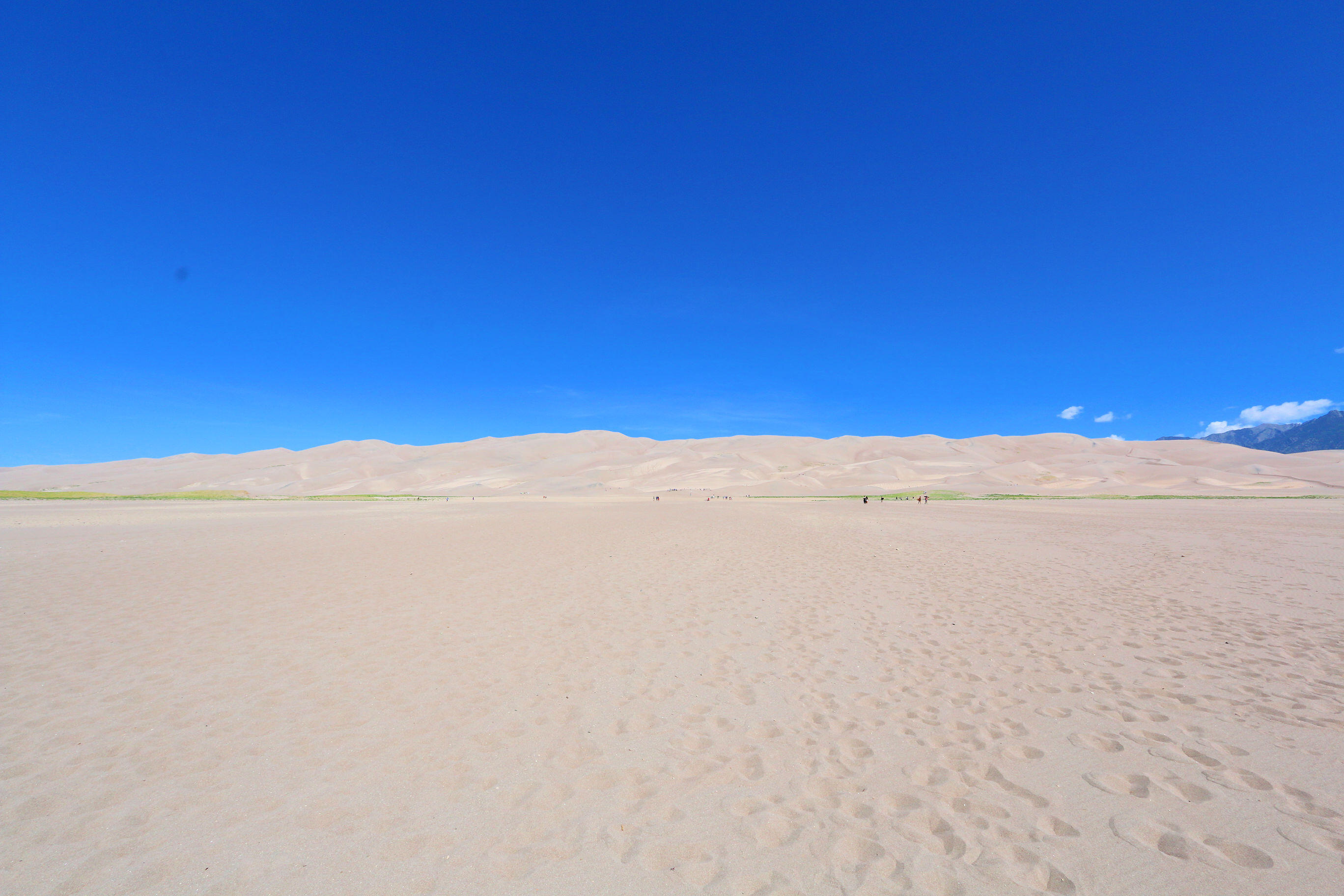
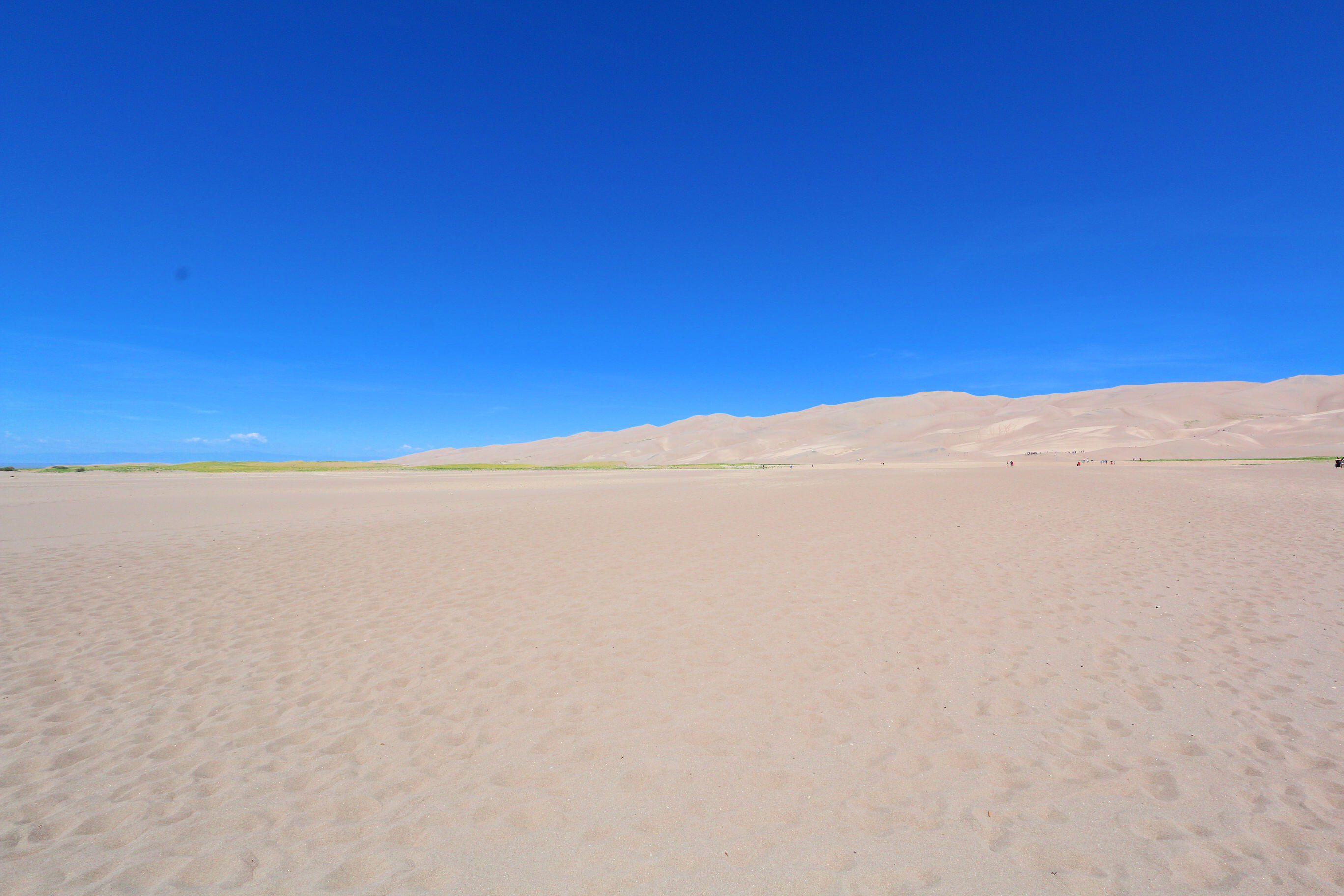
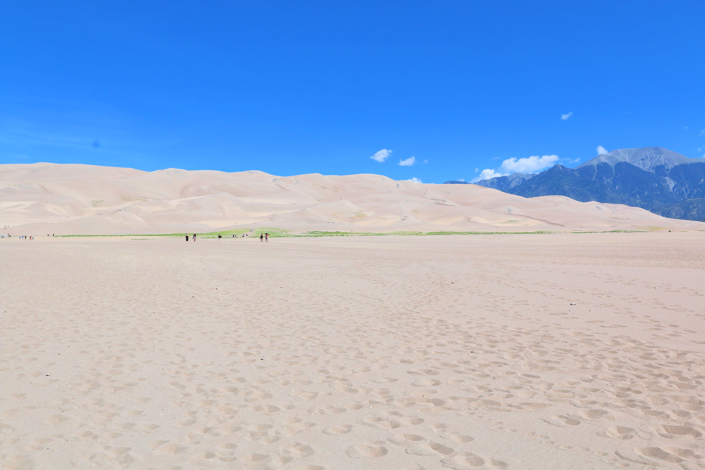
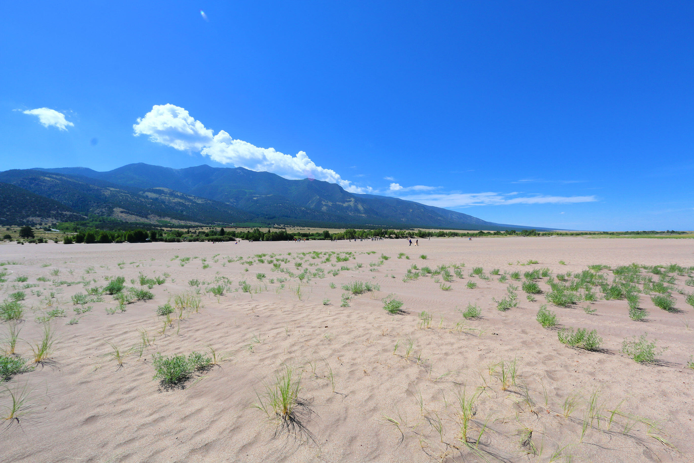
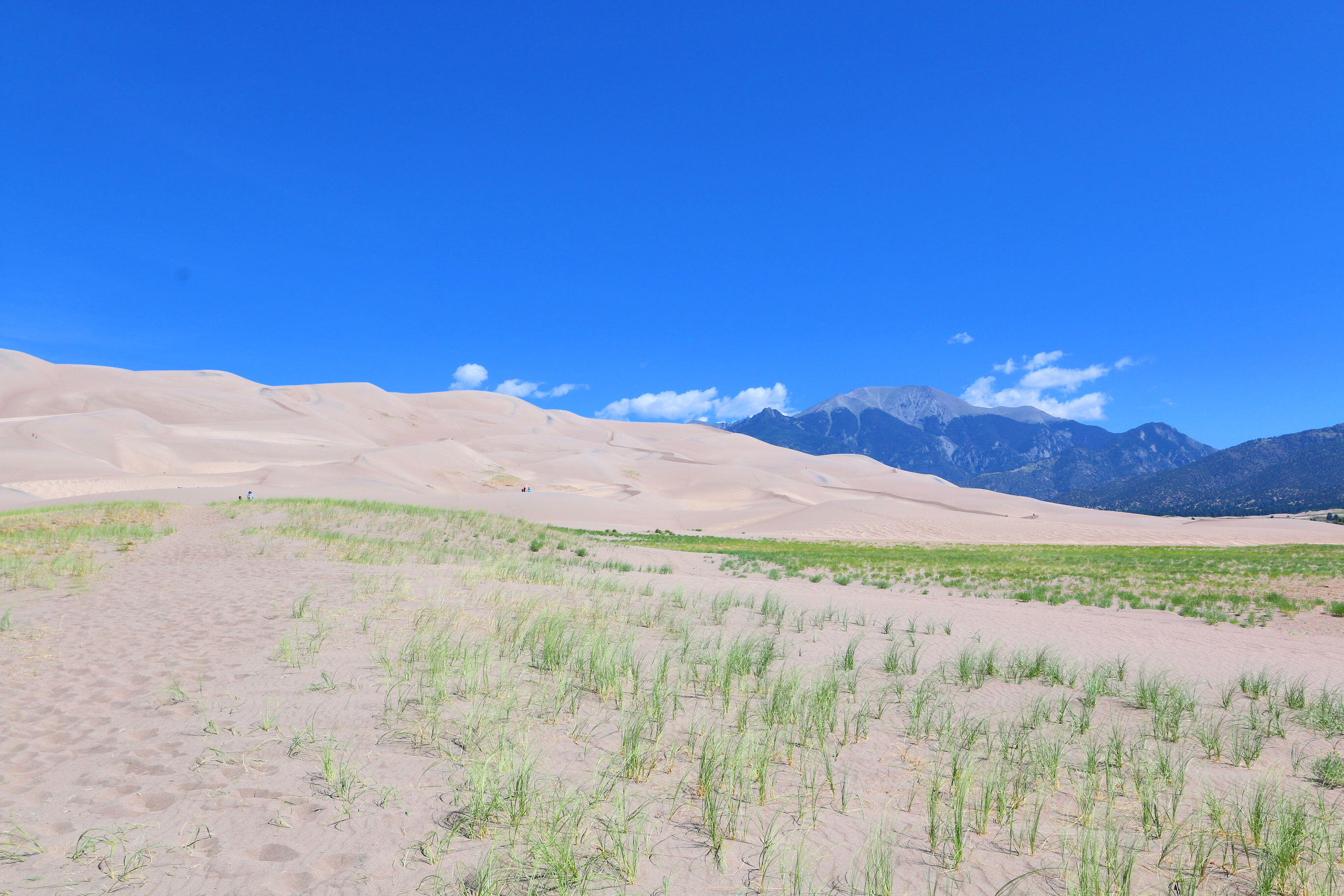
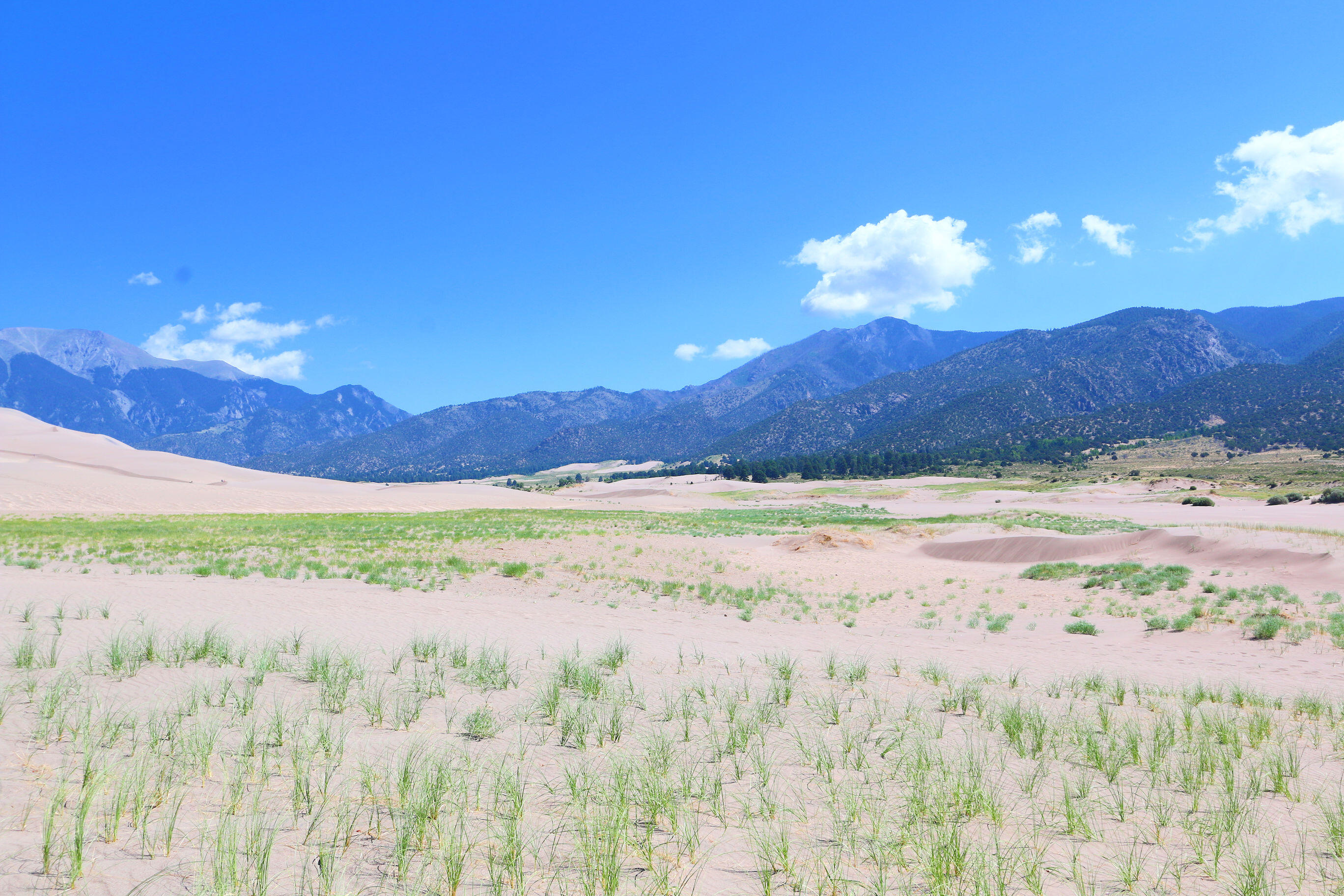
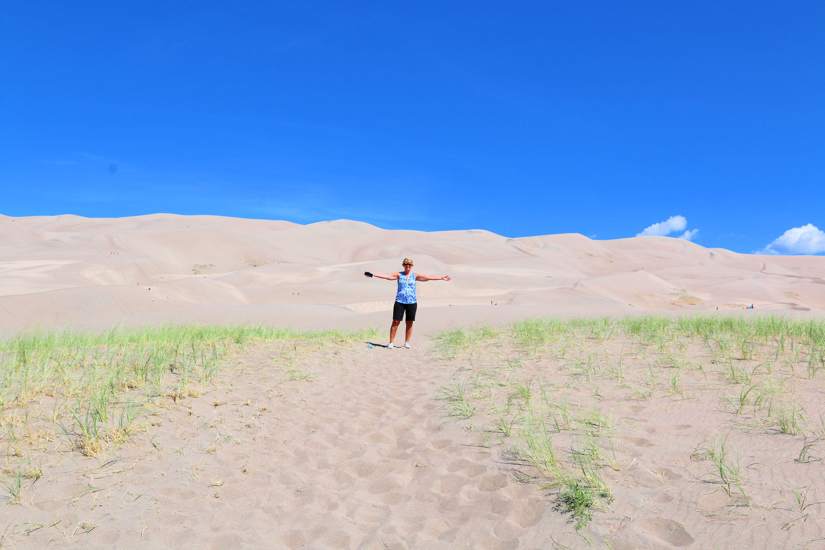
When people think of sand dunes in America, most people think of White Sands in New Mexico. However, the tallest dunes in North Amarica are found in Colorado in the Great Sand Dunes National Park and Preserve. These dunes reach up to 750 feet high. Sediments from the surrounding mountains filled the valley over geologic time periods. After lakes within the valley receded, exposed sand was blown by the predominant southwest winds toward the Sangre de Cristos mountains, eventually forming the dunefield over an estimated tens of thousands of years. Sand surface temperatures may reach up to 150 °F in summer. Lucky for us, when we vsited in July it was a fairly cool morning so the temperatures while warm were not too bad.
Peacock Meadows – South Fork

Peacock Meadows – South Fork

Rating:  
Location:  South Fork, Colorado
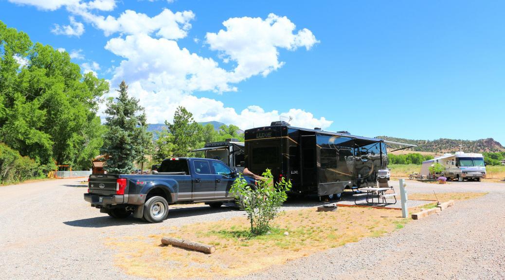
Site Quality:  Gravel roads throughout the park with gravel pull thru and back in spots. Each site had a picnc table and fire ring.
Type:  Commercial
Access:  Off highway 160 with good access for big rigs.
Staff: Friendly and helpful.
Amenities:  Laundry facilities along with showers and restrooms. Group area with picnic tables and a fire ring. On site “Saloon” which offers various activities for the park throughout the week including a bar and live bands on Friday’s.
Cellular/WiFi:  AT&T and Verizon 3 bars and decent speeds (~20Mb). WiFi claims to be fiber with decent speed for an RV park (2-4Mb) but when trying to use it the connections tended to pause for short periods when trying to view you tube videos. It did work for a period of time on Netflix.
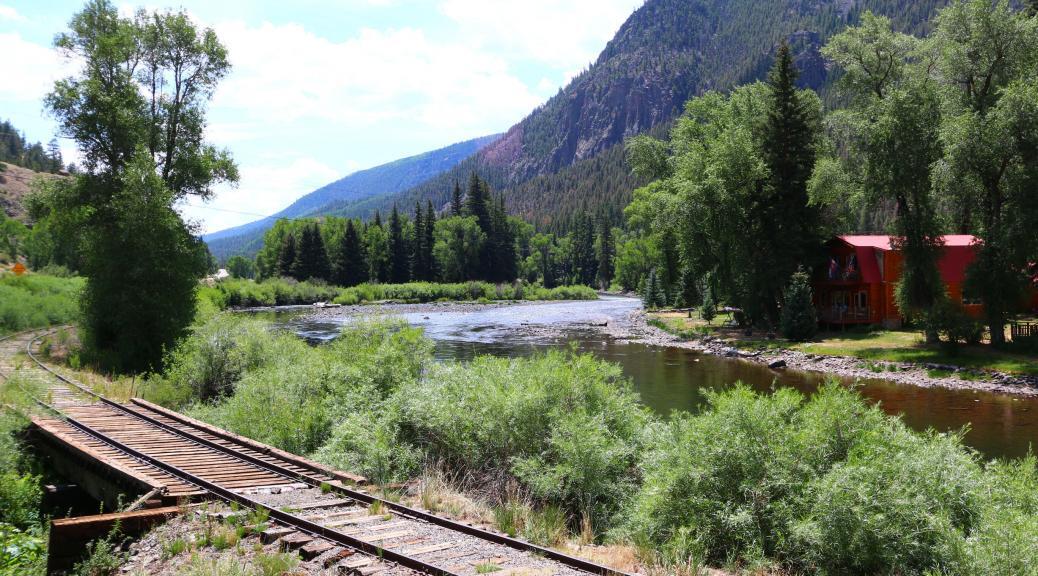
What we liked:  Quiet, peaceful atmosphere. Felt safe and secure. Site was plenty big for a 41′ RV and the truck. Good view of mountains in three directions.
What we didn’t like:  Not much shade in most spots, trees have been planted but they were all very small. The sites, particularly the pull thrugh ones, tend to be close together although not right on top of each other.

Read More Read More

Cochiti Lake Recreation Area

Cochiti Lake Recreation Area

Rating:  
Location:  Cochiti (near Santa Fe), New Mexico
Site Quality:  Asphalt roads throughout the park with asphalt pull thru and back in spots with covered picnic tables. Each site also had a solar light near the picnc table – ours worked but some did not. These provided dim light at the site which was nice at night.
Type:  Corps of Engineers
Access:  North highway 25 and West of Santa Fe with good access for big rigs.
Staff: Friendly and helpful.
Amenities:  Showers and restrooms. Each site has a covered picnic table and grill.
Cellular/WiFi:  AT&T and Verizon 5 bars (Cell tower is in the park). AT&T was slow (<1Mb) while Verizon as very fast (~40Mb). No WiFi.
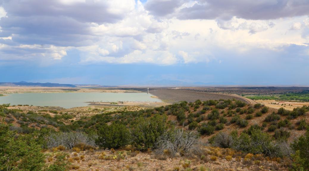
What we liked:  Quiet, peaceful atmosphere. Campsites are terraced above the lake providing good views of the lake and dam which is one of the 10 largest earthen dams in the world. Felt safe and secure. 50′ asphalt site was plenty big for a 41′ RV and the truck.
What we didn’t like:  Not much shade in most spots. No sewer hookups so you have to use one of two dump stations. The shower nearest our site was just OK but could have been updated and cleaned up. One of the control knobs was on the floor. One downside compared to RV parks in Santa Fe is that the temperatures here tend to be 5 to 10 degrees warmer. 

Read More Read More

Puye Cliff Dwellings

Puye Cliff Dwellings

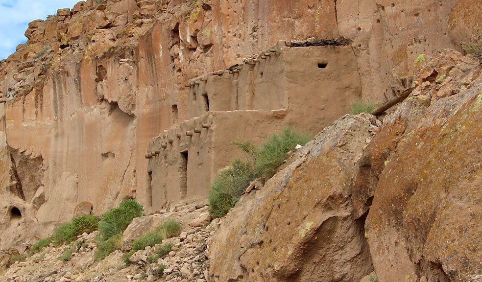
The Puye Cliff Dwellings were home to 1,500 Pueblo Indians who lived, farmed and hunted game there from the 900s to 1580 AD. Puye Cliffs’ inhabitants then moved into the Rio Grande River valley due to drought. They became the ancestors of today’s Santa Clara people, who now live at Santa Clara Pueblo, 10 miles east of Puye.

Puye Cliffs comprises two levels of cliff and cave dwellings cut into the cliff face, as well as dwellings on the mesa top. Over one mile long, the first level runs the length of the base of the mesa. The second level is about 2,100 feet long. Paths and stairways were cut in the face of the rock to connect the two levels and allow people to climb to the top of the mesa.

Read More Read More

Kasha-Katuwe Tent Rocks National Monument

Kasha-Katuwe Tent Rocks National Monument

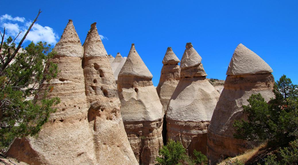
The Kasha-Katuwe Tent Rocks National Monument is less than 10 miles from the Cochiti Lake campground where we have been staying.  It is a must see whenever you are close to this area. During summer it is best to get there early.  Parking is limited and they may need to regulate vehicles entering the park when the parking lots fill up. Delays can be 30 to 90 minutes in these cases. At the same time, summertime temperatures can get very hot. Bring plenty of water.

We hiked the first 1/2 mile segment of the Cave Loop trail and then joined the 2 mile (round trip) Slot Canyon trail. This trail is not to be missed.  The 630′ ascent includes steep and rocky terrain as well as some narrow passages. The views of the geological formations in the area are spectacular.

Read More Read More